Rock Art Ramblin’, Searching For Chumash Pictographs

Los Padres National Forest hiking
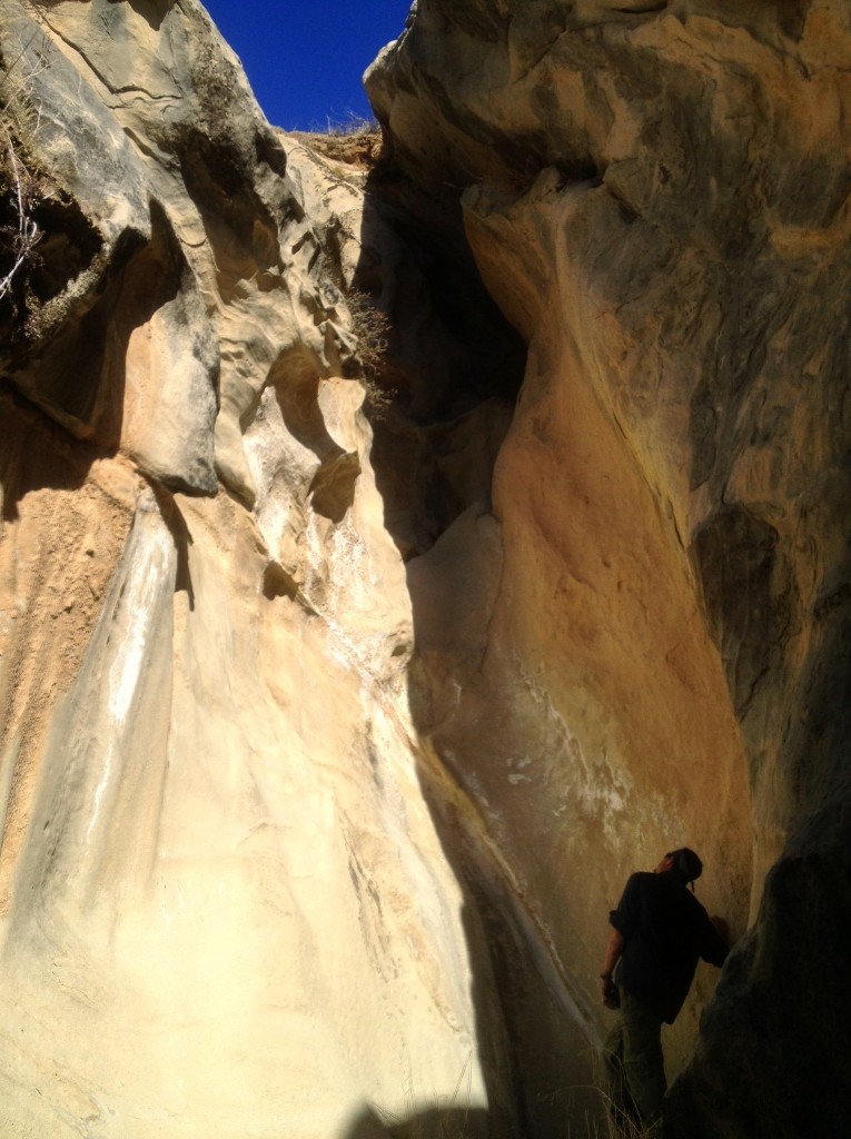
David Stillman standing at the base of the second fall in a series of waterfalls which flow when it rains.

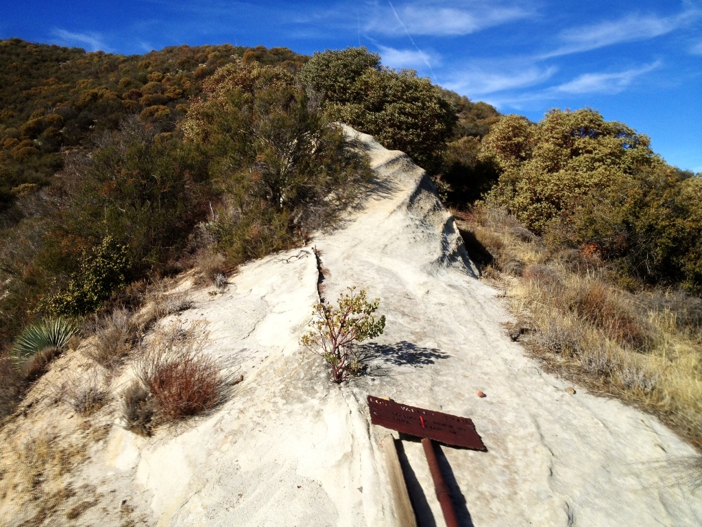
So we go and so it is, around this bend and that, up over and down under and around we go again. This branch breaks, that one doesn’t, a slice and a scratch, trip, stumble, slide and on up the dry creek and over the hills we go.

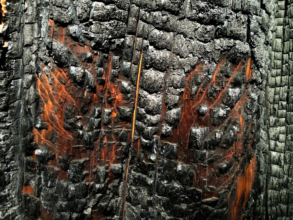
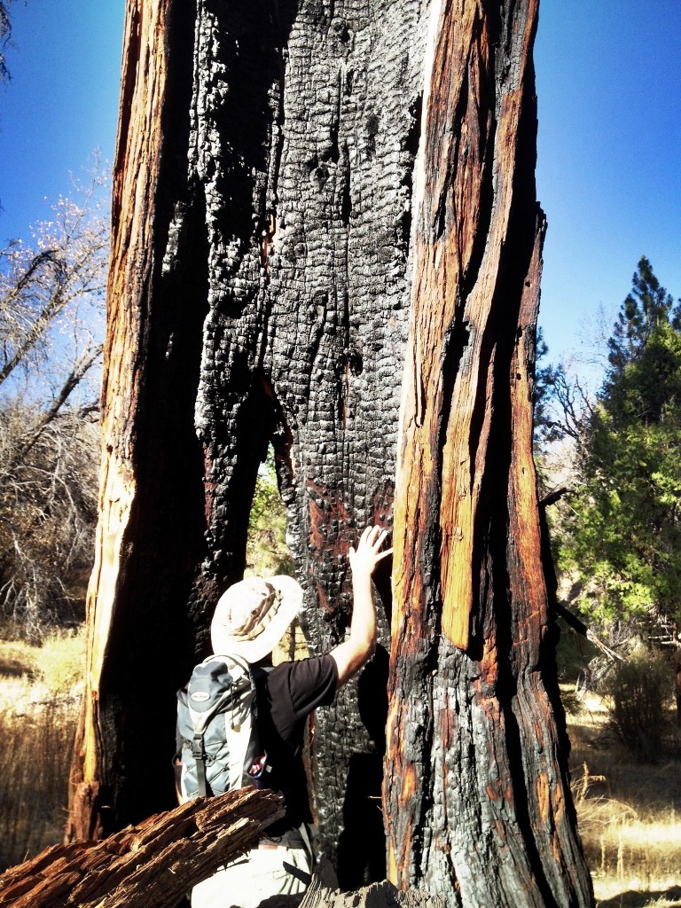
By early afternoon, having been barging and breaking our way through a wildfire charred landscape for hours, I’m streaked in black slash marks and covered in a fine powder of black dust with several red gleaming stinging cuts across both arms .

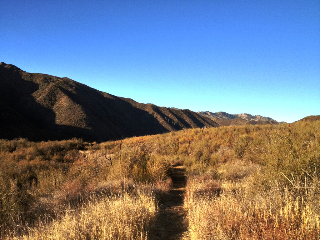
It’s hot hiking in the sun, for winter. And dry, pretty dry, for winter. But there are a number of pockets of water around replenished if only slightly by the last minuscule rain to fall seemingly so long ago. There’s plenty to keep you alive in a pinch, but not much more than that. And it’s around these few seasonal seeps and channels that drain occasional runoff that we search for tell-tale traces of times long past.

Los Padres National Forest waterfalls
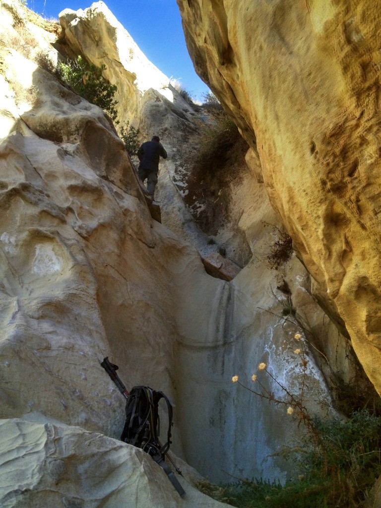
The dry waterfall just below the one shown in the previous photo. Seasonal runoff has carved a deep winding slot through the sandstone bedrock with multiple waterfalls.

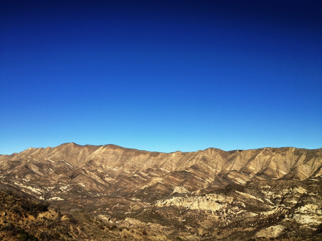
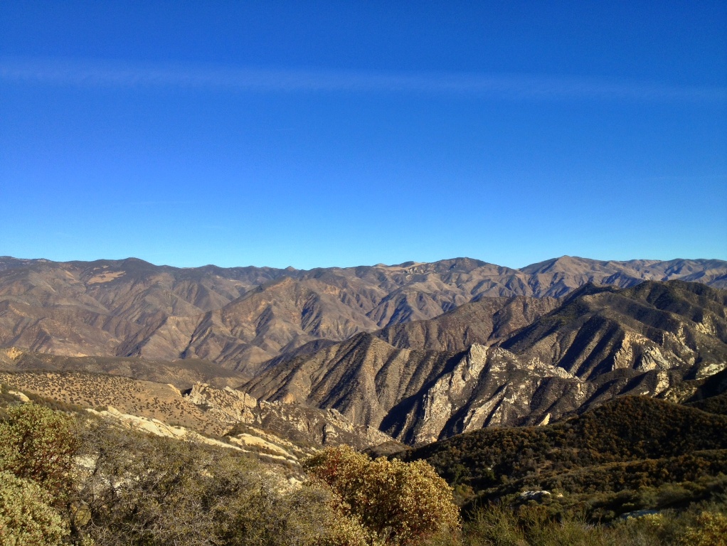
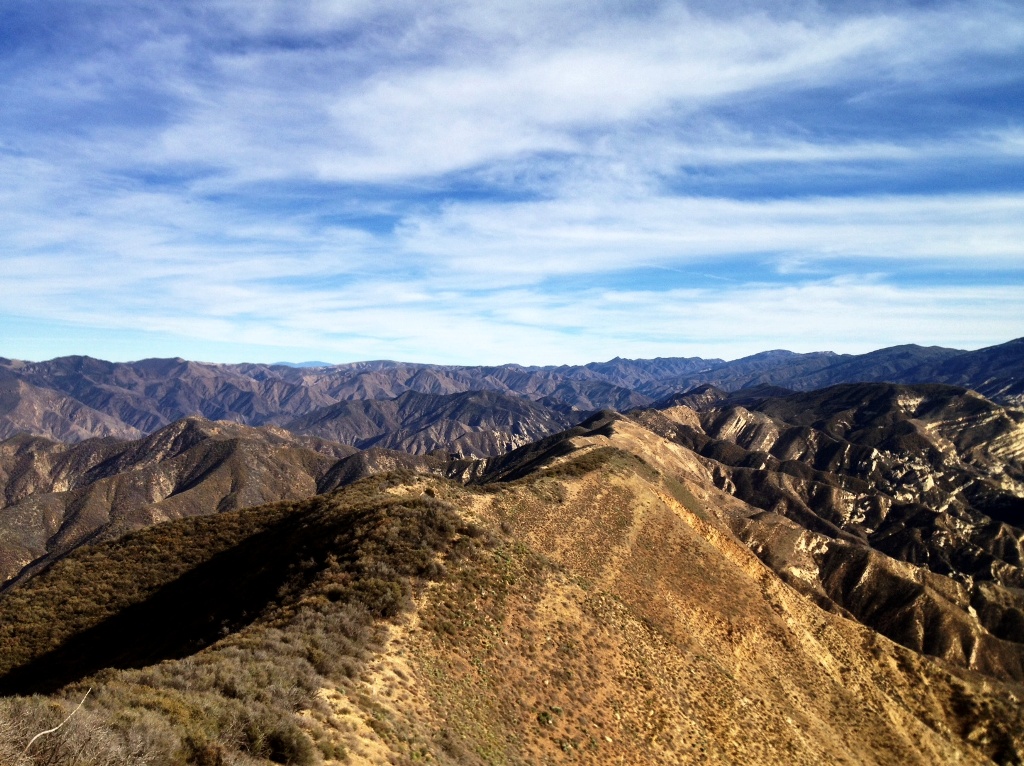
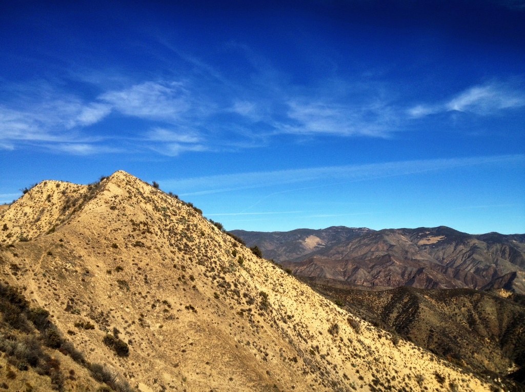
The rugged terrane bristles with chaparral and does not lend itself to easy travel or encourage and invite exploration. It quickly reveals weaknesses. To hike even but a few miles off-trail into its midst requires not just physical, but mental fortitude and the discipline to tolerate a fair amount of various discomforts.

The sun’s blistering glare and heat, even in winter, insidiously saps energy while drawing a constant stream of water from the body, initiating a relentless battle to maintain sufficient hydration, which necessitates constant drinking, usually of less than appetizing warm water drawn from one’s backpack.

Clouds of dirt and charcoal dust explode into the air when breaking through the brush and tramping over the silty dry soil. The superfine particulate coats eyeballs in a gritty film and irritates the nose triggering sneezing fits and sniffling.

And there is the general physical strain of lumbering over a wild landscape of loose soil, shifting rocks and big boulders, across and up and down steep slopes, and through bushes that poke, stab and lacerate soft human flesh like needles and blades. These are the dues that must be paid, nature’s abstract gatekeepers that allow only the most determined and fit adventurers access to the treasures of the backcountry.

Los Padres hiking
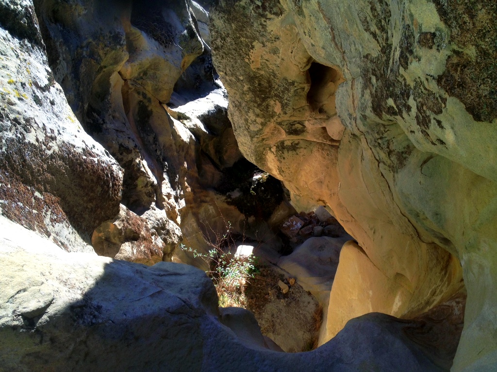
Looking down a miniature gorge. Seasonal runoff flows over the lip of the ledge at the bottom of the photo and falls about ten feet, and then on down the slot over several additional waterfalls.

gorge Los Padres National ForestAnother miniature gorge or tiny slot canyon of a sort. The water flows over the yellowish stone at the bottom of the frame and falls about eight to ten feet before washing down the slot and over additional waterfalls.

Discovering or locating Indian rock art in such a landscape requires indefatigable persistence to press on to the next inconspicuous small cave, alcove or sheltered nook where there may lie hidden a faded, highly eroded pictograph measuring only several inches in size. Finding a pictograph in the chaparral is comparable to locating that needle in haystack everyone talks about.

Looking in every little pocket in the sandstone which may conceal rock art throughout even a small area of rugged terrane is laborious, time consuming hard work. Even if you know the general area where a painted cave is located, you may beat yourself to a bloody, tired mess and not find it or not even cover the entirety of the area in question due to insufficient daylight or depleted energy and waning interest.

Los Padres hikes
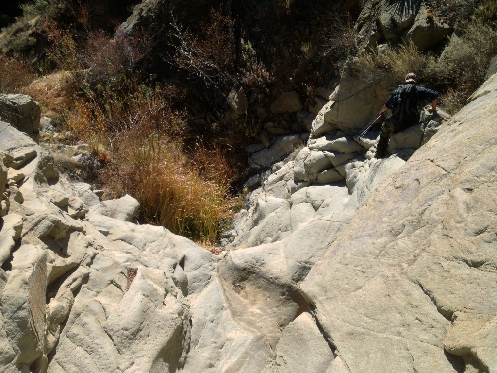
Looking over the edge at Stillman scrambling down a dry creek.
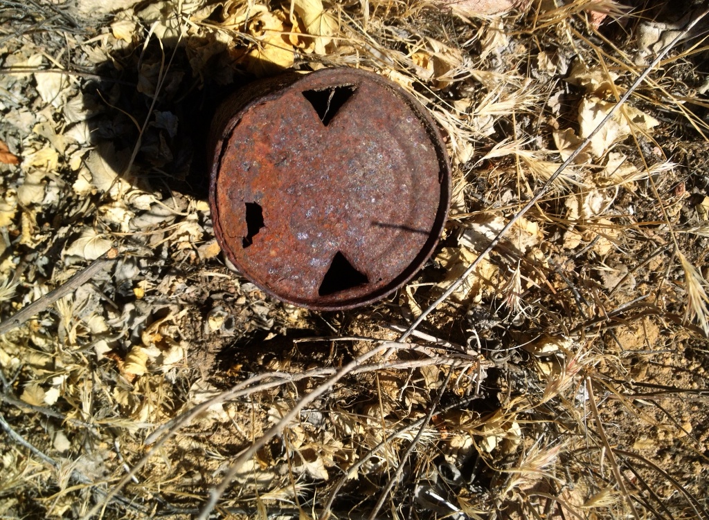
Los Padres National Forest litterVintage beer can.

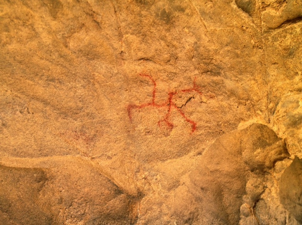
We finally found a single pictograph in an outcrop holding several bedrock mortars. Etiquette dictates that I not provide so much as a single clue to its location and any photos shared be limited in their scope so as not to reveal distinguishing features of the surrounding landscape, which may disclose where the archaeological site might be located.

There exists a contingent of rock art enthusiasts out there who believe it’s their personal duty to enforce such unwritten rules and to protect the exclusivity of such sites for none but the select, chosen few. And if these rules are infringed upon or violated they will not hesitate to inform you of your transgression. No doubt some even grit their teeth over the mere mention of the existence of such archaeological sites in a post entitled such as this one.

Meanwhile, the fragile ever-eroding pictographs and petroglyphs continue fading into oblivion from exposure to the elements. If not intentionally destroyed by vandals or unintentionally by increasing numbers of respectful visitors unknowingly panting moisture laden breath into the caves and kicking up dust, nature will erase these delicate traces of a mystical time long past once and for all. It’s now or later, but it is indeed inevitable.

bear scratch
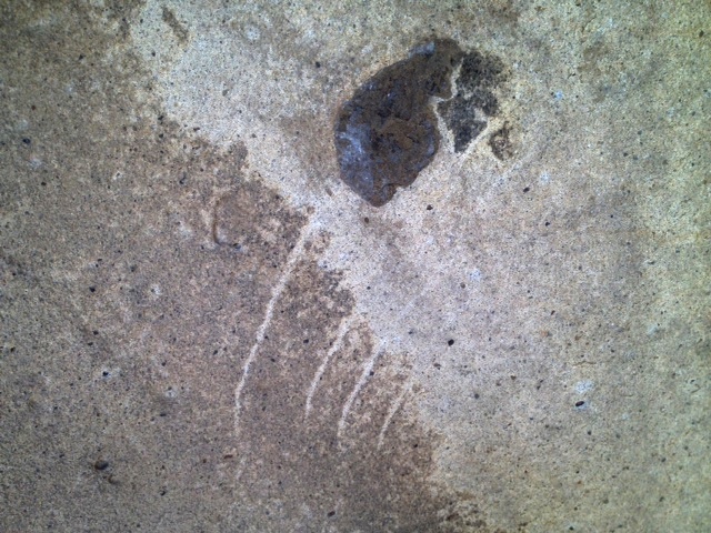
A bear scratch inside a cave. Presumably the bear found the inclusion in the sandstone strangely out of place and pawed at it out of curiosity.

Los Padres National Forest caves
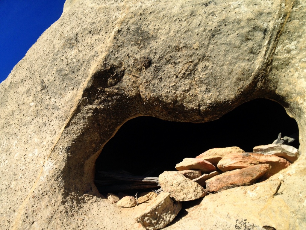
This here’s a deep, completely dry cave. Nice one. There is plenty of space to sleep inside with a lot of extra room, was my first thought. It’s maybe like ten feet long, two to four feet high and three to four feet wide. It has another slightly larger entrance at one end. It very well may have been used as a dry cache by the Chumash. Who stacked those rocks?

Los Padres National Forest hikes
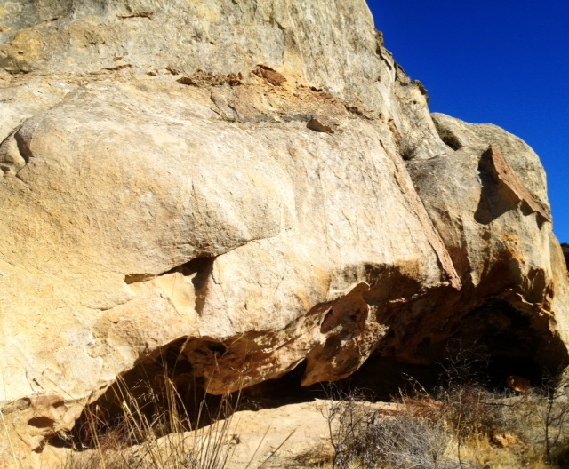
The outcrop holding the mortars and pictograph.

Chumash rock art pictograph paint
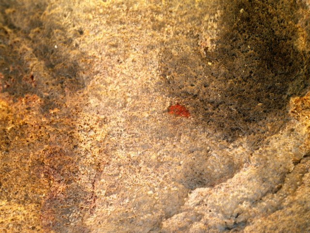
Sometimes all that remains is a tiny spot of paint such as this centimeter wide dot. The Los Padres National Forest spans some 1,752,400 acres.

Chumash rock art pictograph Los Padres National Forest

Posted in Santa Barbara County | Tagged , , , , , , , , , , | 10 Comments

Lion’s Mane Mushroom

20131229-162215.jpgAfternoon reflections on a deep pool, which would be a lot deeper, as the mineral stain on the rock shows, were it not for the current droughty conditions.

Hericium mushrooms are one of the subtle signs of annual change in the Los Padres National Forest. When they sprout from their woody hosts it signifies the return of the rainy season.

For 51 weeks the hericium hunter patiently awaits the first rain showers of the season, which trigger the short-lived growth of the “Lion’s Mane” mushroom. If the first rain comes early, however, so too will the mushrooms, but sometimes the wait is longer than a year.

There is but a fleeting window of opportunity, about a week or so depending on weather, to harvest hericiums in their prime before they begin to turn woody and then rot. Then, typically, they do not grow again until the next season. It is a rare treat.

20131229-201752.jpgA hericium growing in the Santa Ynez Mountains. They have a pleasant, fruity mushroom fragrance and can taste like lobster or shrimp when picked fresh and sautéed in butter and olive oil.

20131229-202233.jpgMeat.

Related Posts
Hericium Mushrooms of Santa Barbara County
Oyster Mushrooms
Giant Puffballs
Gem Studded Puffballs
Chanterelle Mushrooms

Posted in Flora, Santa Barbara | Tagged , , , , , , , , , , | 4 Comments

Ballard Camp, Figueroa Mountain

La Jolla Trail Figueroa MountainLa Jolla Trail 

La Jolla Trail Los Padres National ForestTrail through the oak trees.

Ballard Camp Alamo Pintado Creek headwaters Figueroa MountainDropping into Birabent Canyon on La Jolla Trail.

Ballard Camp upper Figueroa MountainA U.S. Forest Service stove at Ballard Camp, which was presumably named after the nearby town of Ballard or its namesake, W. N. Ballard, who built and managed a stagecoach station there from 1862-70. (Slippery Rock Stagecoach Road [19th Century])

Ballard was the hometown of Edgar B. Davison, previously mentioned on this blog in the post, Edgar B. Davison’s Cabin (circa 1900). Davison was one of the first forest rangers in Santa Barbara County and served on Figueroa Mountain from 1898 through 1912.

Ballard Camp Figueroa MountainBallard Camp beside the creek in Birabent Canyon.

Alamo Pintado Creek Birabent Canyon

Posted in Santa Barbara County | Tagged , , , , , , , , , , , | Leave a comment

Lost Valley, Hurricane Deck, Potrero Cyn 20 Mile Day Hike

Hurricane Deck San Rafael WildernessHurricane Deck, the prominent ridge defining the skyline.

There is no trace of water on Hurricane Deck, no trees and no campgrounds. It’s a 20 mile long ridgeline with south facing cliffs and steep grassy slopes on one side and a dense cover of chaparral on the other. It can be hot even in winter and deadly, broiling hot in summer.

Something sort of like a trail runs across the top of the ridge, but it’s neglected and unmaintained, brushy and ill-defined. In some sections it’s downright dangerous as a makeshift trail skirts the cliffs with only inches of space to walk, a precipice on one side and a wall of wiry chaparral poking at you from the other.

The clifftop is shaley and loose, with piles of small domino-like flat, rectangular pieces of interlaced stone covered in thin layers of dirt. Step near the cliff edge and the shale dominoes slide apart and the earth seems to disintegrate underfoot. One misstep could easily send a hiker over the edge and they wouldn’t stop tumbling for several hundred feet.

Lost Valley Trail San Rafael WildernessLost Valley Trail

Lost Valley Trail Twin Oaks campsiteTwin Oaks Camp along Lost Valley Trail.

Crossing the top of middle Hurricane Deck recently, I was able to link a combination of old trail cut through the brush, current animal paths and thin use trail left by the occasional intrepid backcountry hiker. I only had to crawl under or through the brush in three areas, but only for a few feet at a time, which wasn’t bad. I had expected worse.

Never having crossed this middle section of the ridge I wasn’t sure how passable the route would be, and was all the while concerned I was going to run into impenetrable chaparral half way into my day, some 12 to 14 miles from the trailhead, and find myself stuck with only fleeting hours of short winter daylight. Sunset comes fast this time of year. I didn’t want to be fighting my way through a bramble of brush at half a mile an hour or less as the sun began setting.

At a certain point on such a hike there is no going back, and you commit to the planned task and just hope you make it through before it gets dark. I’m not the type to ask people for current conditions. Life’s a gamble. And that’s the beauty of it.

Sisquoc River drainage Hurricane DeckLooking over the Sisquoc River watershed as seen from the junction of Lost Valley Trail and Hurricane Deck Trail.

Hurricane Deck Trail Lost Valley junctionThe junction of Lost Valley Trail and Hurricane Deck.

Hurricane Deck TrailLooking back, eastward, over where I’d come from along the top of Hurricane Deck.

There are no rock formations of interest, no rolling grassy potreros or any other sort of notable features on top of middle Hurricane Deck. Perhaps the most remarkable feature are the views of Manzana Creek watershed on one side and the Sisquoc River drainage on the other.

I’ve heard of Europeans visiting the Santa Barbara area who’ve allotted time in their itinerary to hike Hurricane Deck. I wonder if those tourists made this particular geographical feature of the San Rafael Wilderness a destination based solely on the romantic, adventurous name it was bestowed with, because I can’t imagine what else might have led them to want to spend what little time they had on vacation hiking it. It had to be the lure of the name.

I’ve heard of other people of local origin that set out to hike the trail for the first time by trying to do it at night under a full moon. I don’t know how it works elsewhere, but around the southern Los Padres National Forest it’s not wise to assume a trail is easily passable just because it’s listed on a map. In fact, what’s labeled on a map as a trail may not even exist in any other manner but in old cut branches long buried in a thicket of overgrown chaparral.

What if Hurricane Deck was renamed using the ever expansive Big Book of Tiresome Cliches? What if it was instead named all too accurately the sunbaked, wind-swept, dry as a bone, God forsaken ridge? It certainly would not attract as much attention or foot traffic as it does, which is little as it is.

Hurricane Deck Trail San Rafael WildernessA section of Hurricane Deck. The trail, or a trail, runs up the edge of the steep ridgeline to the conical apex and then down the saddle on the left.

Potrero Trail San Rafael WildernessPotrero Canyon Trail showing Hurricane Deck looming in the upper left-hand corner of the frame.

Related Post:

Potrero Canyon, Hurricane Deck, Manzana Creek 20 Mile Day Hike

Posted in Santa Barbara County | Tagged , , , , , , , , , , | 9 Comments

A Goofy Guerilla Camp, Cedar Creek

Cedar Creek Trail Los Padres National Forest Sespe WildernessAlong Cedar Creek Trail

While ranging off trail recently I came across a bootleg camp along a small spring-fed tributary of Cedar Creek in Sespe Wilderness. It was situated right in the creek. Branches and fallen trees had been lashed together with synthetic cordage and fashioned into a crude roof frame. A rolled up sheet of heavy, clear plastic was stuffed into the branches of the framework for storage and was apparently used to make a waterproof ceiling. There was a pile of charcoal and some scattered trash including the obligatory crumpled beer can or two, the trailings of the slouch class of American recreationists, who in this case thought it wiser to ensure their plastic makeshift ceiling was carefully rolled and stored for later use rather than leave the area free of garbage and their charcoal.

Five to ten yards away there was a perfect grassy bench above the creek, at the foot of a slope and beneath the drooping branches of a cedar tree, which was a far more intelligent and hospitable place to locate a small camp. It would have been a warmer, dryer and roomier place upon which to work, relax and sleep.

Yet some clowns had set up shop as close to the water as possible, nearly in the muck of the brook, in the dampest and coldest place around, hemmed in by the tiny trickle of cloudy late season water and several trees, with little room to work around the fire or relax let alone roll out a bedroll. The whole thing looked clumsy and silly.

Cedar Creek bear claw marksBear scratch

Cedar Creek Trail bear scratch

Cedar Creek CampThe real, official, Cedar Creek Camp

Cedar Creek hiking trailThe camp in question.

Posted in Ventura County | Tagged , , , , , , , | 2 Comments