 Falls
Falls
“Whenever you start looking at your map and saying something like ‘well, that lake could have dried up,’ or ‘ that boulder could have moved,’ a red light should go off. You’re trying to make reality conform to your expectations rather than seeing what’s there. In the sport of orienteering, they call that ‘bending the map.’”
—Edward Cornell professor of psychology at the University of Alberta, as quoted by author Laurence Gonzales in Deep Survival: Who Lives, Who Dies, and Why
Bear Canyon creek cuts a narrow gap through the foot of the mountain towards its confluence with Sespe Creek. It’s a canyon patchily shaded by oak, maple, sycamore, alder and fir trees, with a couple of looming cliffs rising high overhead, and a seasonal creek that flushes through sections of massive boulders.
Slinking quietly into the canyon mouth with deliberation, I waded slowly into several thigh to waist deep pools of still water, the ripples lapping the creek banks sounding like the gentle slap of water against a boat hull. After the first four miles of trail, under that deadly sun and through the chaparral above and along the dry Sespe, Bear Canyon was a welcomed shady oasis with cool, clear flowing water.
The creek went dry shortly thereafter, however, and transitioned into significantly more rugged, bouldery terrain making for a decidedly more strenuous hike. A couple of different spots along the way held several inches of clear standing water in what was otherwise a dry creek bed. It was enough for drinking. The seeps support lush stands of alder trees and at one time not a few marijuana plants by the looks of it.
I found two huge spools of black plastic irrigation hose, as well as a hundred yards of hose run through the creek. Though everything was old and abandoned, it still added a bit of tension to the day’s previously relaxed feel. Alone and unarmed but for a three inch blade, I wished I had brought my USP.
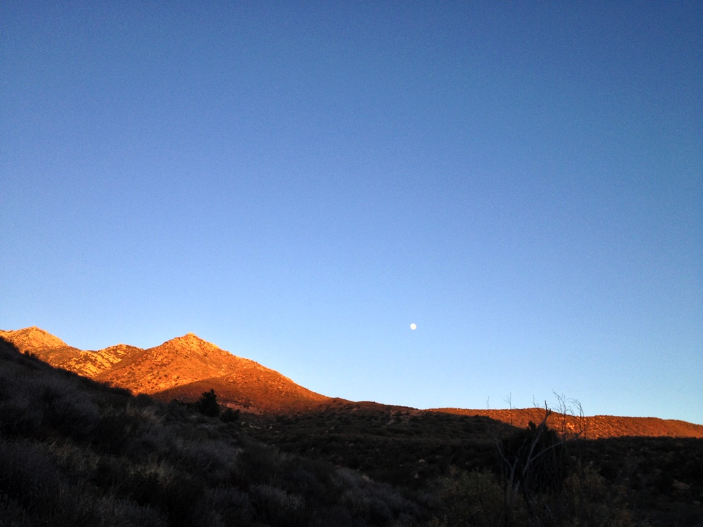
 Morning over Sespe Creek, the ball of fire in the sky utterly dominating the landscape and everything else found thereon.
It takes a respectable effort to get up Bear Canyon. Reaching its upper half, as the creek closed in and became tangled in thorny vines, tree branches and logs making forward progress harder, I began the ol’ “How much damn farther” routine in my mind. I wanted to reach my objective post haste, and was straining to match my expectations with the reality I was experiencing though the two did not jibe. If my body was not yet there, my mind was and it would force me to downplay and ignore contrary evidence and just proclaim victory. And so I did.
I rounded a bend to find a drop in the creek where it’s pinched between narrow banks and flows over exposed bedrock. My first thought was a tangle of, “Yes, finally, there it is” quickly followed by, “What a pathetic excuse for a waterfall,” which promptly turned into, “Nah, this can’t possibly be it.” I couldn’t believe that such an unremarkable tiny cascade, if it can even be called that, could possibly be worthy of the label “falls.” I was right. It’s not worthy and it wasn’t the falls. Then somehow, without much more thought, I just decided that it was the waterfall.
The creek bends and winds in a somewhat similar fashion both where I thought the falls were located and at their actual location. In each place the watercourse bends eastward, runs through a sort of “m” shape and then hooks back westward. The contour of the land roughly resembling the topo just enough to make it plausible in my mind, I bent the map, proclaimed my victorious arrival at the falls and went home a champion.
Not until days later did I realize that I’d mislocated myself, that where I stopped was not the waterfall. Idiot! Eight miles of wide open trail and about six miles of off-trail boulder hopping through the creek to go. The chore of returning remains. My mind got in the way the first time.

 Sespe Creek Trail
 A semi-dried catfish on the trail. It had what looked like puncture wounds on either side of its head, as if chomped by fangs or clenched by talons before being deposited in the middle of the trail.
 Sespe Creek
 Snake crossing
 Sespe Creek
 Sespe at Bear Canyon

 Lower Bear Canyon
 The creek gone dry.

 View from the creek.

 Looking down canyon.

 Tall alder trees lining the creek.
 Rattlesnake
 The “falls.” D’oh! Nope.
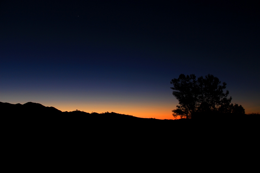
 Sespe sunset

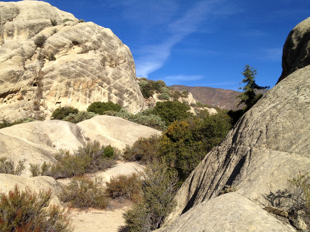 Gene Marshall-Piedra Blanca Trail through the rocks of Piedra Blanca.
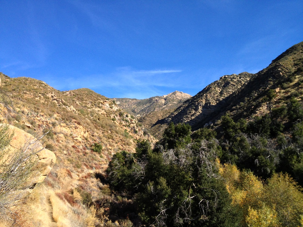 Trail on left along North Fork Piedra Blanca Creek.
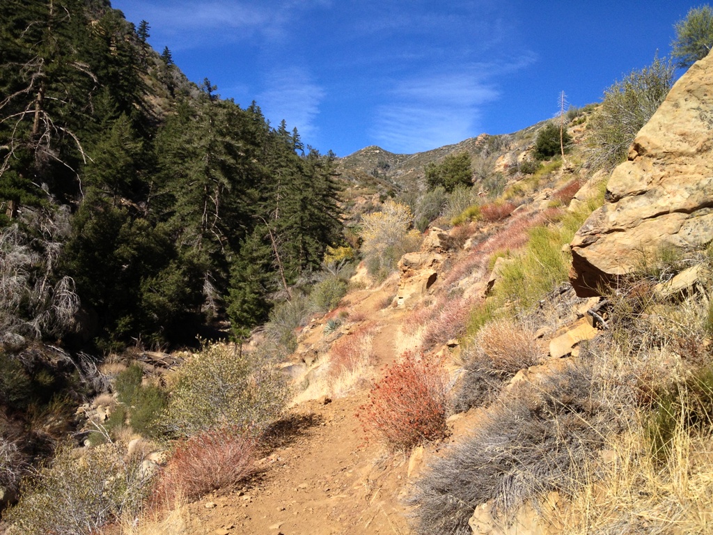 Climbing up along the creek.
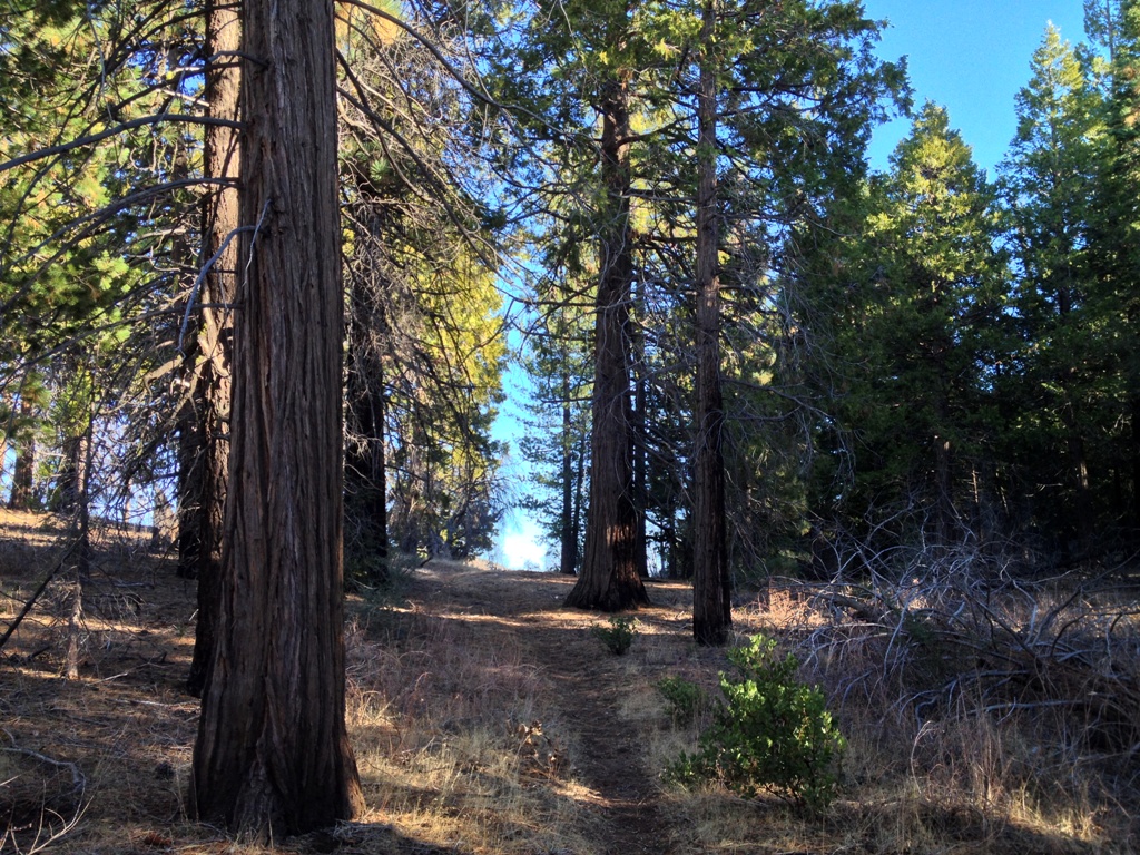
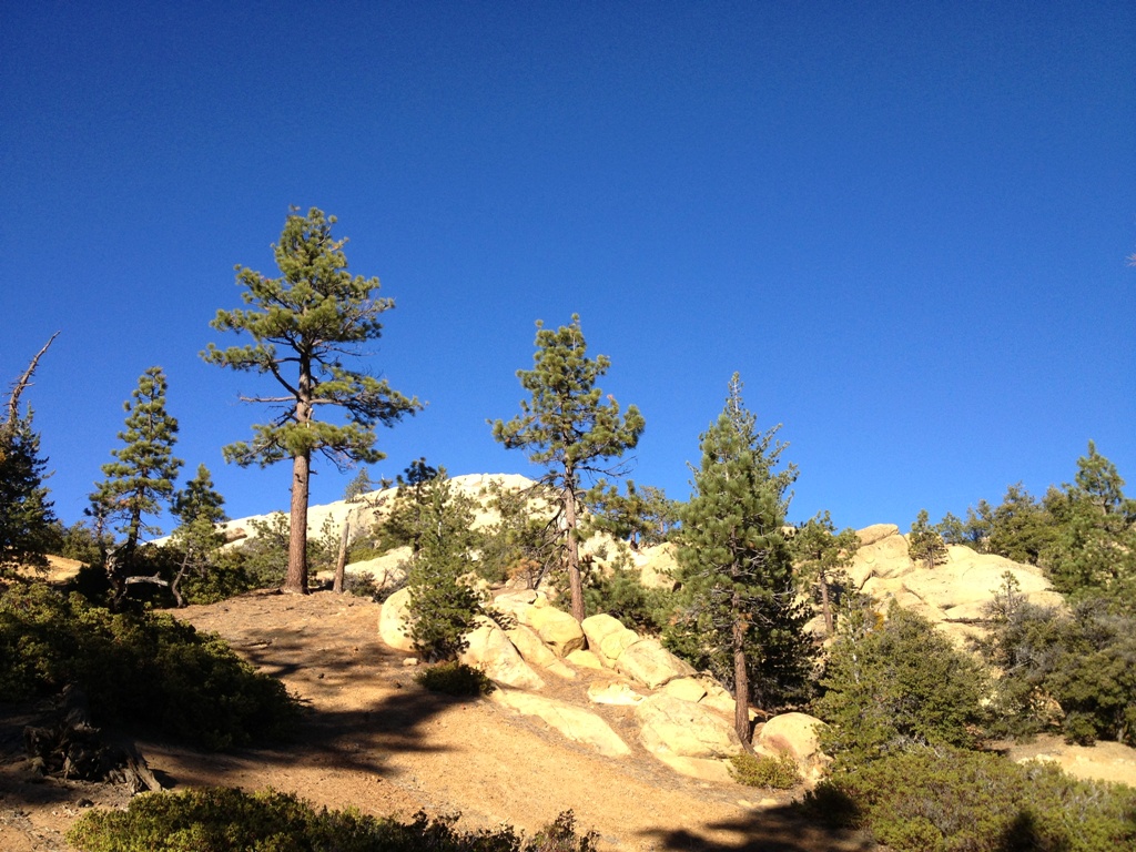 Pine Mountain environs.
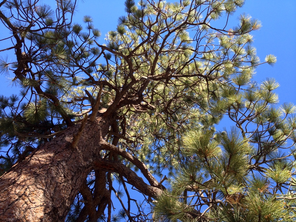
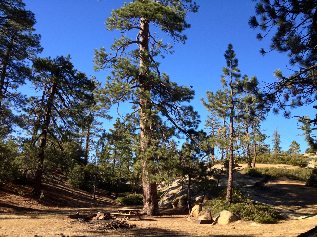 Pine Mountain Lodge Camp.
 Pine Mountain environs.
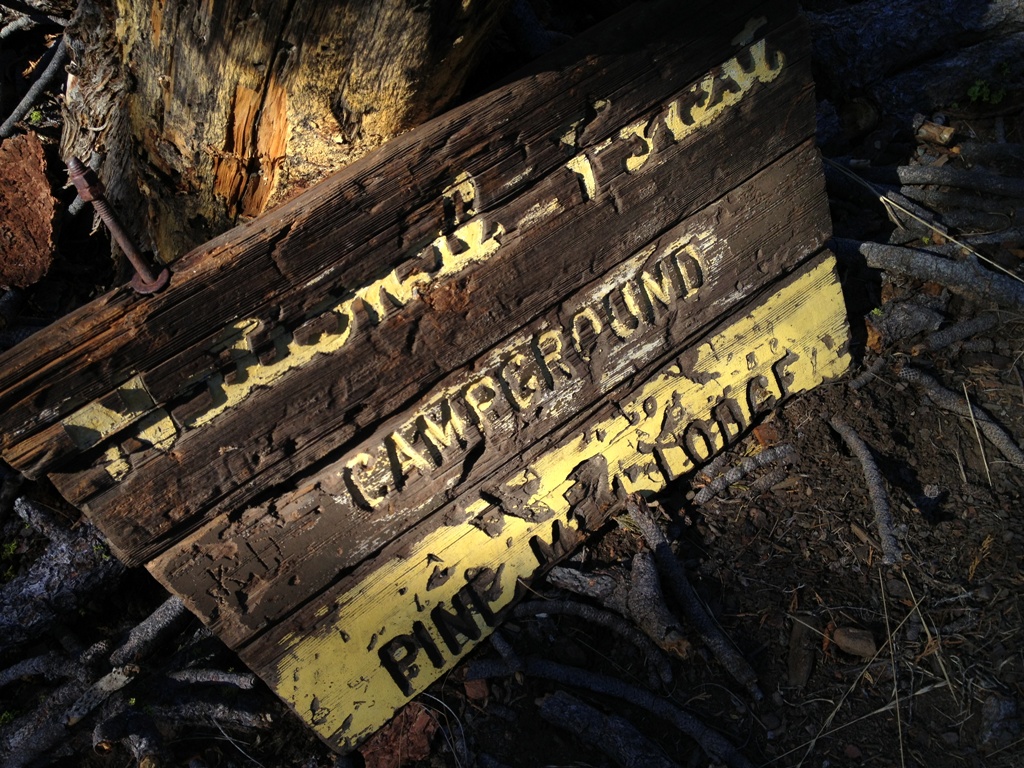 The main Pine Mountain Lodge Camp
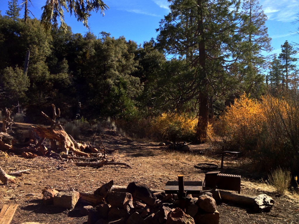

 Trail leading off the edge of the mountain toward Piedra Blanca.
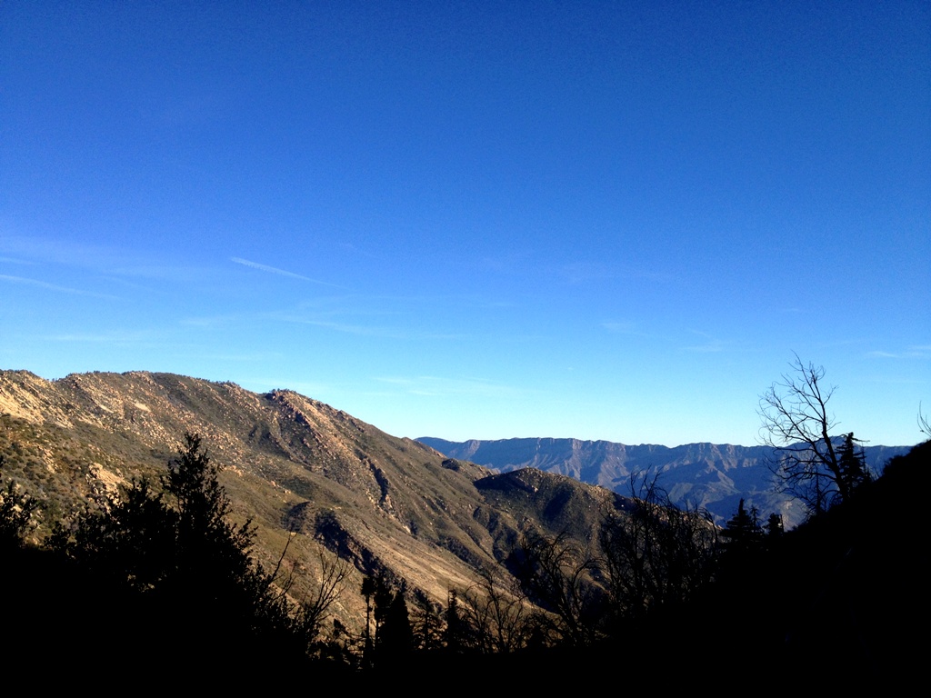 View from trail on the way home.
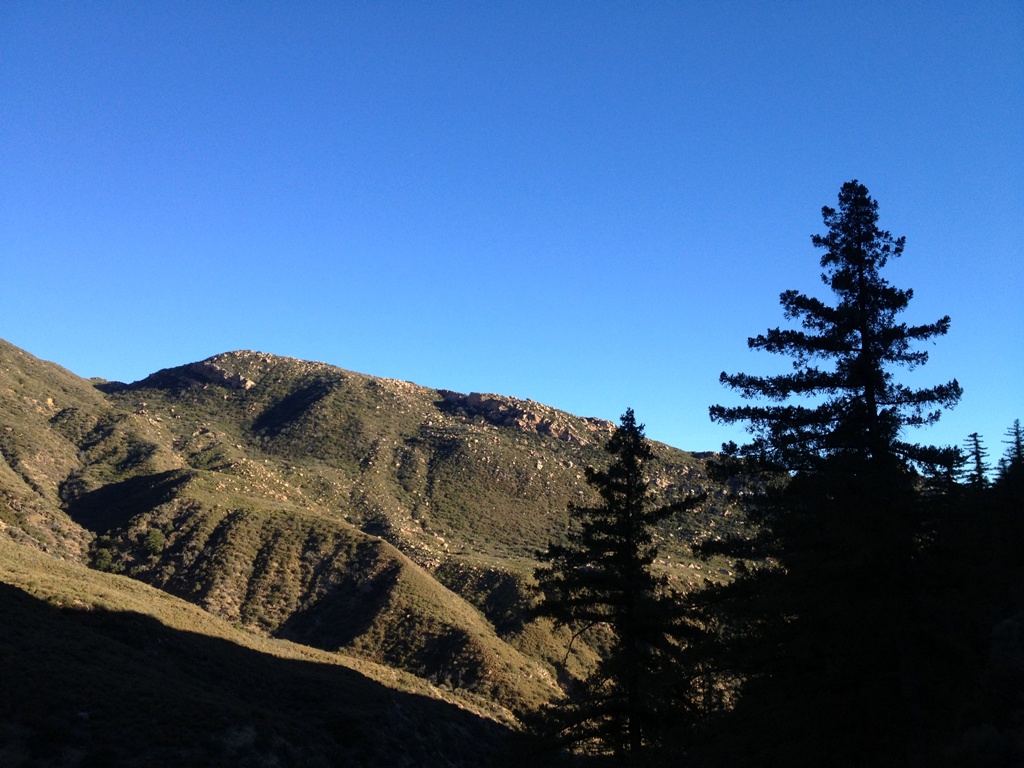
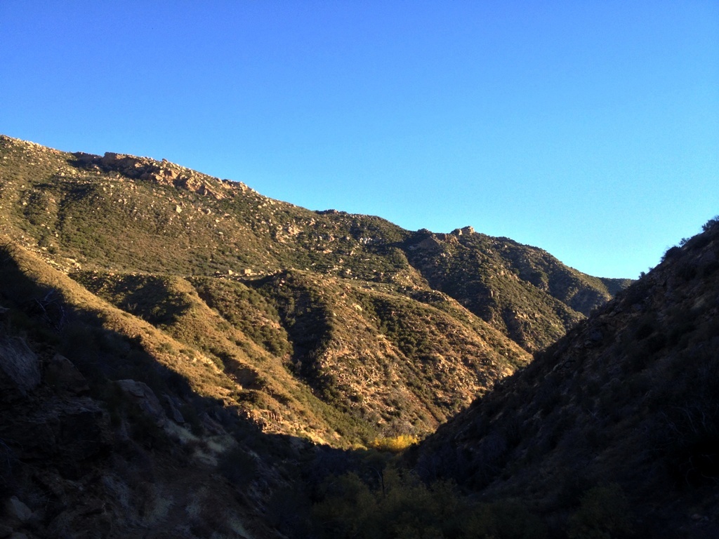 Looking down North Fork Piedra Blanca Creek.
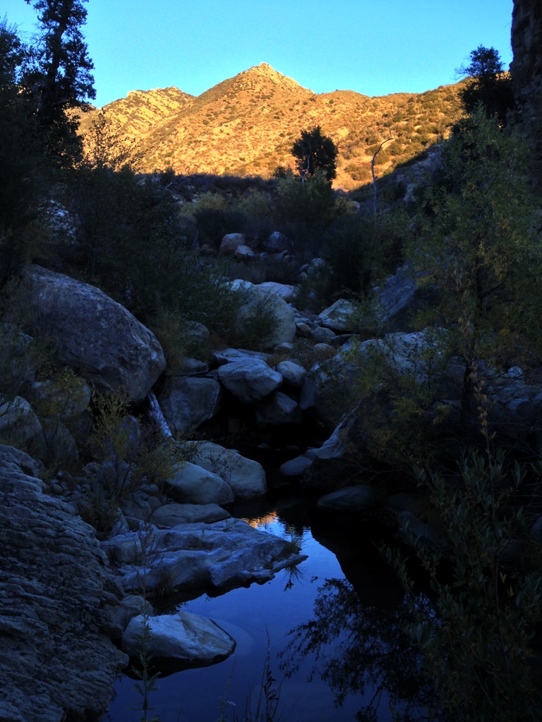


