Edgar B. Davison’s Fir Canyon cabin, Figueroa Mountain, Santa Barbara County. (Courtesy Bryan Conant, by way of a friend.)
“Edgar was a forest ranger on Figueroa Mountain from 1898 through 1912, making $75 a month. Grace and Edgar built a cabin in remote Fir Canyon, in what is now the Los Padres National Forest, and lived there for the early years of their marriage. If they were separated, grandson Don Davison related, at sundown Edgar would signal from his lofty Figueroa perch with a mirror to Grace in Ballard, flashing an all’s well. “
—William Etling, Sideways in Neverland: Life in the Santa Ynez Valley, California (2005)

Edgar B. Davison
Edgar B. Davison was active in civil society and described himself as being “proud of California, and a deep-dyed optimist as concerns her future.” He was a proactive citizen that helped build the state into what it is today. The son of pioneers, he was in many ways a pioneer himself as an early resident of Ballard in the Santa Ynez Valley.
Describing the tiny community as she first saw it in 1882 when brought there by her parents, Davison’s wife Grace wrote, “Ballard was a mere handful of houses, with a school, but as yet without a school house.”
Edgar B. Davison helped build the town church and school and worked as the first manager of Ballard’s Oak Hill Cemetery, which was founded in 1883, and within which today still grow several towering redwood trees he planted.
In 1894, concerned about a drought, Davison wrote a letter to the Los Angeles Herald asking the editor for clarification about the “possibilities of causing rain by artificial means.” His question was published in addition to a lengthy reply informing him in conclusion: “When the conditions are favorable for rain, explosives and fires may precipitate rain, but when the air is too dry no artificial means can cause rain to fall.” The editor went on to warn people of being “duped” should they “contract or subscribe to any rain making agents for the production of rain.”
Davison participated in party politics and in 1898 was elected a delegate in the Republican county congressional convention. The next year the San Francisco Call published a letter he wrote commending the newspaper for its “bold and fearless fight” against political corruption in California. In 1911, President Taft appointed him postmaster of Ballard.

Memorial plaque at Oak Hill Cemetery.
Aside from his work within the Ballard community, one of his more enduring legacies enjoyed by countless outdoor enthusiasts and hikers through the decades was the protection of a mountain reserve that eventually became part of the Los Padres National Forest, as well as the building of Davy Brown Trail.
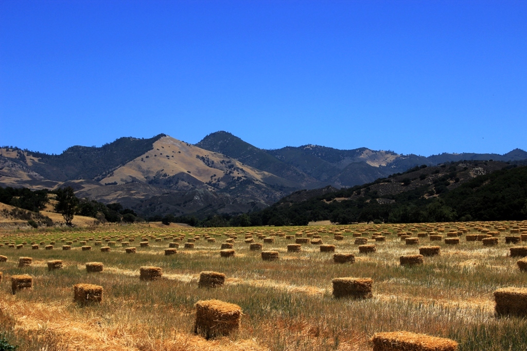
Davison created the Davy Brown Trail between 1898 and 1899. The three mile path leads down the backside of Figueroa Mountain (4528′) to Sunset Valley and what today is Davy Brown Campground (2095′).
During the same period of time around the turn of the century, Davison was actively involved in laying the groundwork for what would become the Zaca Lake Forest Reserve, which eventually became incorporated into what today is known as the Los Padres National Forest.
On September 12, 1898, the San Francisco Call noted Davison’s leading role in the creation of the Zaca Lake portion of the Pine Mountain and Zaca Lake Forest Reserve:
“. . .Edgar B. Davison of Ballard, to whom is due, through his exponency of the idea in the newspapers, the setting apart of Pine Mountain Reservation by the government, . . .”
On September 25, 1898, the Los Angeles Herald offered readers an illustrated feature story about the new forest reserve, which praised Davison for his conservation work.
Originally Edgar B. Davison, H. H. Doyle (the present county clerk of Santa Barbara county), Henry Robinson (editor of the Santa Ynez Argus), Mrs. Flora Haines Loughead and others suggested to Congressman McLachlan that Zaca lake and a few sections adjacent be set aside as a government reservation. …
Mr. Davison’s articles in the country press had great influence in forming public opinion to be ready to support the petition. …
Edgar B. Davison, who has done as much as anyone else to procure the reserve for Californians, is a young man, a resident of Ballard, near the reserve. He is 29 years old, and has lived near or on the tract for fifteen years past. Pleasing to state is the fact that his zealous efforts to secure the state a splendid reserve have not been unrecognized at headquarters. Mr. Davison is now one of Commissioner Crawshaw’s assistants, and has his headquarters in Brown’s cabin, on the Little Manzana.
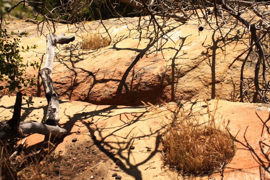
Davison became one of the first forest rangers serving in Santa Barbara County. He used the Fir Canyon cabin on Davy Brown Creek as a station for his duties, as well as using the cabin built by C.E. Munch in what today is known as Munch Canyon for his winter headquarters. Neither structure still exists. Today, along the Davy Brown Trail, a plaque notes the location of the old Davison cabin.

 The Edgar B. Davison cabin site in 2012. The above shown green plaque can barely be seen in the shadows just below center frame and to the left of the thin trunk of the tree.
 The “X” marks the location of the old Edgar B. Davison cabin.
Reference:
William Etling, Sideways in Neverland : Life in the Santa Ynez Valley, California (2005)
E.R. Blakley, Historical Overview of Los Padres National Forest (1985)
Grace L. Davison, Beans for Breakfast (1956)