
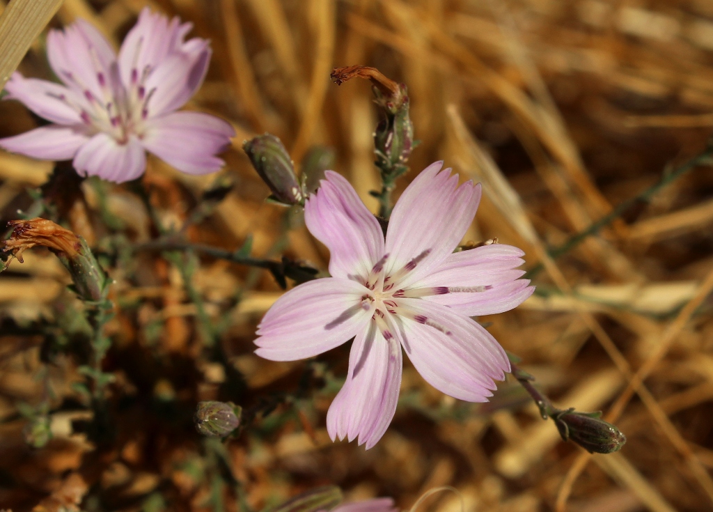
The environs of Figueroa Mountain feature a diverse range of landscape. Open rolling grassland, gravely slopes sparsely studded with moss and lichen covered oaks, other nooks holding denser stands of oak and conifers, flowing creeks in the shady sycamore canopied canyons, piney peaks, and spectacular wildflower blooms in spring that can be seen from miles away.
Following any one of the many short trails that wind and weave through this area of the Los Padres National Forest takes hikers, in short order, through an outdoor realm of varied habitat like few other areas of the local forest.
Following below is a photo essay from a recent hike to the top of Zaca Peak from the mouth of Birabent Canyon on Alamo Pintado Creek. (This hike traverses private property and requires a permit from Midland School.)
 Morning fog along lower Figueroa Mountain Road.


 Grass Mountain as seen from La Jolla Trail.

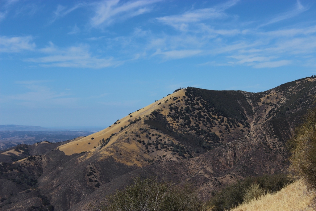
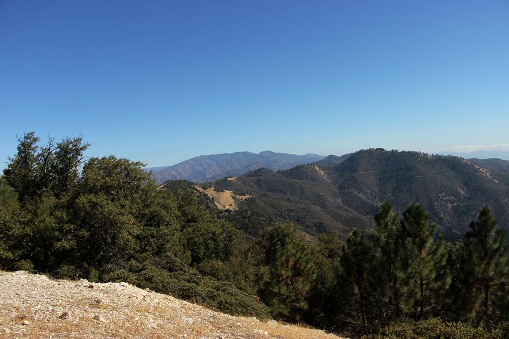
 Grass Mountain and the ridge leading to Zaca Peak.
 Tarantula sunning on the trail.
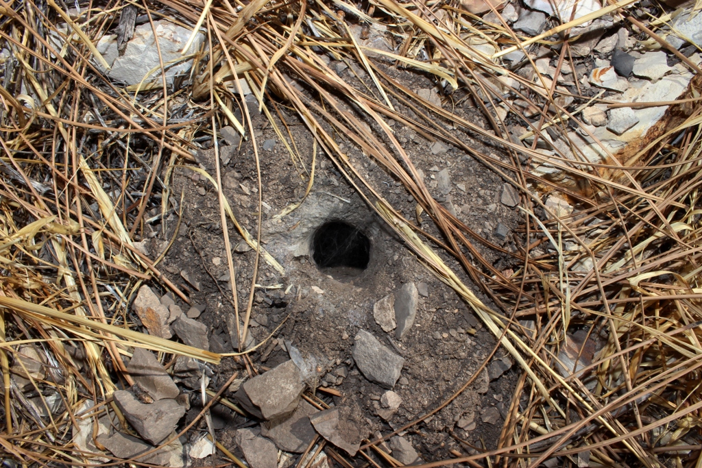 Tarantula burrow.
 Grass Mountain with Zaca Peak barely visible behind it to the right.
 The lone oak before the wall of Grass Mountain.
 Up.
Up.

 A thin finger of maritime fog from the Pacific still lingering far up the Santa Ynez Valley, the marine layer looming over the Santa Ynez Mountains in the distance.
 Trail leading off the top of Grass Mountain looking over Santa Ynez Valley.
 Looking down the face of Grass Mountain.
 Grass Mountain summit.

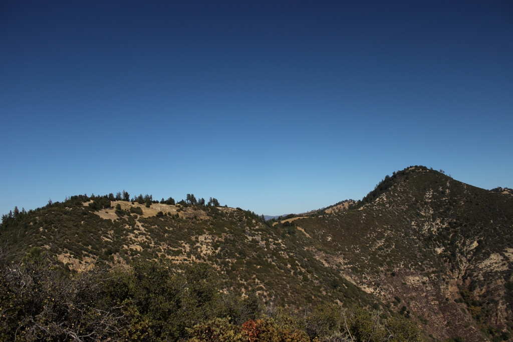 Zaca Ridge and Peak seen from atop Grass Mountain.
 Trail along top of Zaca Ridge.
 Zaca Peak
 The view from Zaca Peak summit looking over Grass Mountain and the Santa Ynez Valley toward the Pacific Ocean.
 Looking east from Zaca Peak.
Related Posts:
Birabent Canyon and Grass Mountain
Figueroa Mountain Wildflowers
Toddling Down the Davy Brown Trail
Edgar B. Davison’s Cabin (circa 1900)
Backcountry View From Figueroa Mountain Summit


This brings back awesome memories. I did this hike when I was a student at Midland in 1982. There should have been a canister at the top of Grass Mountain where you can sign you name and leave a note. Any chance of that still being there? I guess I will have to hike it again to find out.
When we arrived at the top we were sitting and soaking in the beauty of the valley on the backside of the mountain when we were blown away when a Cruise Missile with two fighter jets on its heels came flying down the valley at an altitude that seemed like it was on the tops of the trees. Needless to say we were freeked out and thought that this was the beginning of the end. At least we would have a spectacular view of the end. Thanks for the great pictures and memories.
Jeff Bohn
Hey Jeff. Thanks for stopping by. There was a small pile of stones on top of Grass Mountain with a few pieces of abalone shell, but I didn’t see a register to sign in at, though one may be there as I didn’t bother looking.
Thanks for the trek, asI can only enjoy it vicariously!
Hey Pat. Thank you for stopping by!
Good morning, this hike reminds me of the trail to the ridge above the old Gifford Ranch ruins off 166. The hike takes off from the ruins up the ridge to the north and you end up on top and can see all the way to Vandyland, Pinos and Carrizo. The Los Padres trail head is about a 1/2 mile east + – past the Rock front ranch, most people miss it but there is a wide spot to make a u turn is you do but be careful.
Hey Doug. Thanks for your comment. I know that area and the ranch you mention, but have yet to do much hiking out thataway.
Heading out this this weekend, if the stars align. Thanks for the beta.
Hey Derek. Have a good one!
Hey Jack,
I’d like to run this trail. Do you mind telling me what the total mileage up to Zaca Peak is? Is the trail easy to follow past Grass Mountain? I’ve run some other Midland trails and they are great stuff.
Many thanks,
Kevin
Kevin. . .not sure of the mileage. . .”trail” past Grass Mountain is relatively easy to follow, though it’s not anything like the Midland official trails. . .you should see it easy enough, though, just a little brushy but no bush whacking required. . .the way up to Zaca Peak from the trail along the ridge is the trickiest part. . .probably wouldn’t be running much up it as you dodge around trees, bushes and various logs and branches. . .somewhat of a use trail, but not much. . .
Thanks, Jack!