Deluge and Drought In Santa Barbara County

Cachuma Lake Bradbury Dam drought
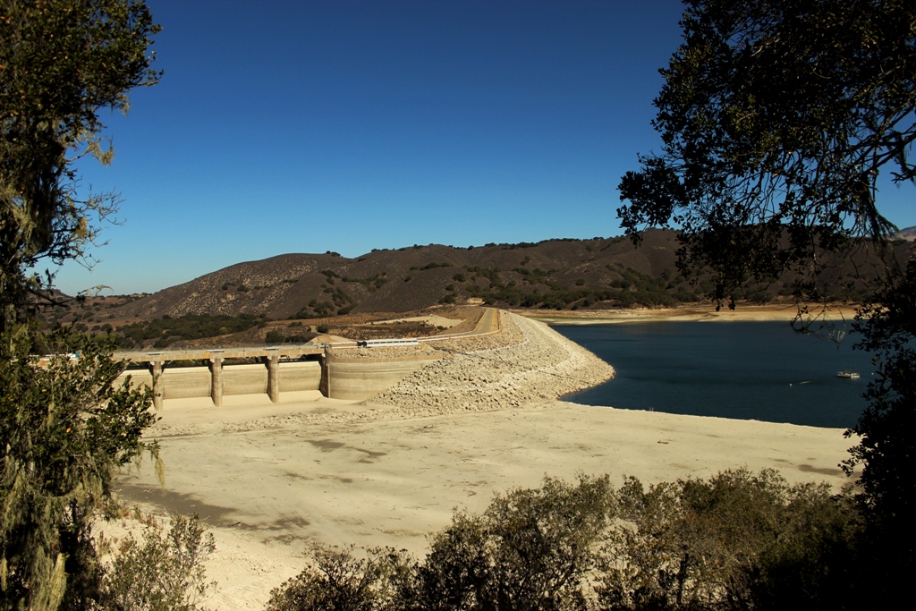
Cachuma Lake at Bradbury Dam, September 2013. The reservoir is well below the floodgates and currently less than half full.

It seldom rains in Santa Barbara. “Probably the most striking feature of Santa Barbara County,” a story published in the Los Angeles Herald in 1897 notes, “is absence of rain during most of the year.” The lack of rain has been particularly acute the last two years.

Santa Barbara county-wide precipitation last season measured in at 46 percent of normal marking the second consecutive water year of below normal rainfall. The lack of precipitation at Gibraltar Dam set a record low beating out the previous record set in the 2006-07 water year, which is measured September 1 to August 31. Current capacity at Gibraltar Reservoir is a measly seven percent.

Yet, as Santa Barbara County Water Agency manager, Matt Naftaly, noted earlier this year of the current dryness, “this is a normal fluctuation.” It may not rain often, but when it does sometimes it really does! Despite the current droughty conditions, over the last fourteen seasons the county-wide rainfall total amounts to about 95 percent of normal for the period.

Cachuma Lake dry drought 2013The east end of Cachuma Lake is currently dry.

Santa Barbara County Rain TotalsSanta Barbara county-wide rainfall totals showing the wild fluctuations from year to year. (County of Santa Barbara)

Santa Barbara Gibralatr Reservoir Historic Rainfall GraphGibraltar Dam rainfall history showing 2013’s record low. (County of Santa Barbara)

The pioneers of the Sisquoc River, a watershed in the Santa Barbara County backcountry, were driven out of the area in large part due to the hardship caused from the cycle of deluge and drought characteristic of the region.

“The environment was a big factor in the community’s inability to survive,” Blakley and Barnette write of early Sisquoc residents in their book, “Historical Overview of Los Padres National Forest” (1985). “Years of heavy rain and flood were followed by dry years.”

Newspaper articles from the nineteenth and twentieth centuries chronicle the dramatic ebb and flow of precipitation through the years.

San Francisco Call, January 28, 1904:Santa Barbara droughtArizona Republican, March 08, 1911:Santa Barbara County floodsSanta Barbara County floodsAbout 150 years ago, a severe drought reshaped the socioeconomic landscape of Santa Barbara County ending forever the era of large cattle ranches, and helping usher in a new period of smaller landowners and development.

The Great Drouth

The returning [Civil War] soldiers found in Santa Barbara and in the other cow counties of the south a problem of rehabilitation more serious perhaps than Southern California was ever again to know. The stark, hot hand of drouth had, during their service in 1864, swept over the Southland, destroying the herds and bringing to a tragic close the pastoral life of old California.

Three successive dry seasons had left the land so parched that the grass did not come forth in the spring and around the faint green of disappearing water holes and ciénagas the starving cattle congregated literally by thousands, only to perish of starvation. Everywhere the plains were strewn with the fallen creatures and their bleaching bones. Prosperity seemed to have disappeared forever. …

Over two hundred thousand cattle had measured the wealth of Santa Barbara in 1863. Less than five thousand head were alive to munch at the grass that sprouted after the rains came in the winter of the following year.

The day of the native California land barons was brought to a close. The entire economic life of Southern California was altered. Cattle raising as the distinctive industry of the Southland was ended forever, and range lands fell so low in value that some of the southern counties assessed them at 10 cents an acre. It meant the beginning of partition of the great ranchos.

In Santa Barbara as elsewhere in the former cow counties, the land was opened for the first time for small farms and the march of industry which began after 1869, when the combined lure of cheap lands and easy travel over the new trans-continental railroad started the second tide of immigration to California.”

Santa Barbara, Tierra Adorada: A Community History (1930)

Cachuma Lake drought 2013 water level
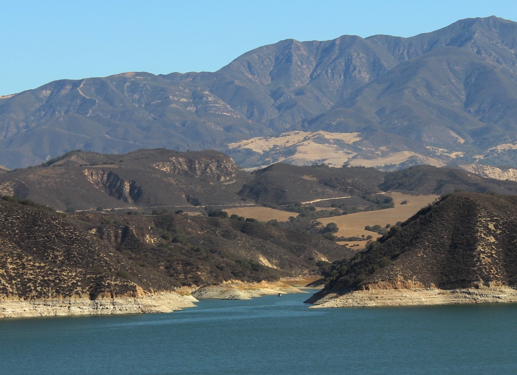
The full capacity waterline is high and dry at Cachuma Lake.

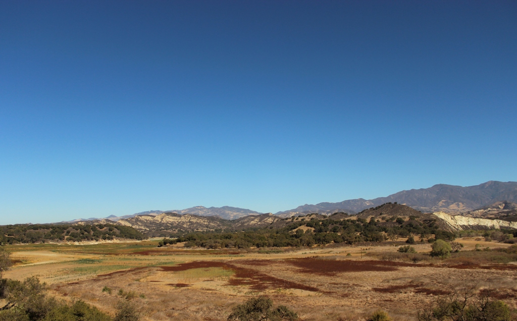
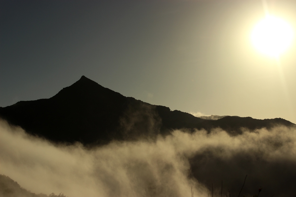
Growing up in Santa Barbara I had the drought conscious water saving mantra, “If it’s yellow let it mellow, if it’s brown flush it down,” burned into my brain as a boy. People use to, and some still do, paint their lawns green or replace them with artificial turf. The other side of the climatic coin included the torrential rains of El Nino years, the flooding, mudslides, road washouts, and big surf and deep snow.

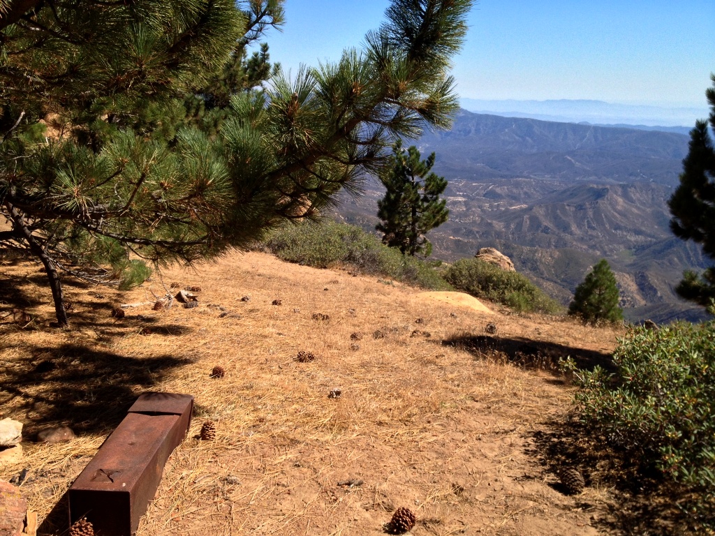
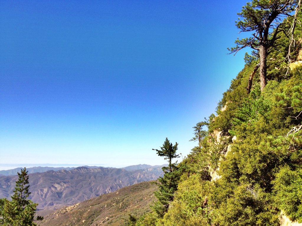
The yo-yo back and forth between the extremes of deluge and drought can leave the Los Padres National Forest lush one season and desiccated the next. Some years it’s possible to hike deep into the hinterlands throughout summer with little concern about hydration, as streams and springs flow. Other years lack of water severely limits hiking options for all but the most hardy and determined trekkers.

Heading into the new water year, with the last two seasons of below normal precipitation and resulting current drought conditions, much may hinge on what does or does not fall from the clouds this winter.

Posted in Santa Barbara | Tagged , , , , , , , , , , | 1 Comment

Searching for Soul Outside the Cage

Solo hikingStillman walking point in the San Emigdio Mountains.

“The environment we’re used to is designed to sustain us. We live like fish in an aquarium. Food comes mysteriously down, oxygen bubbles up. We are the domestic pets of a human zoo we call civilization.”

–Laurence Gonzales, Deep Survival: Who Lives, Who Dies, and Why

I walk alone into the wild to escape civilization’s bubble of artificial reality. The material comforts, the convenience and technological ease, the abundance everywhere at all hours, and the seemingly inexhaustible supply of easily obtained necessities and luxuries, it insulates me against and removes me from nature.

Matilija waterfallsThat is, of course, the principle intention of it all, to separate humans from the harsh elements and the hardship of the existential struggle nature would otherwise represent. But in that separation, as desirable as it is for sake of an easier and more comfortable life, something is lost.

Separate an animal from nature long enough and they lose their true identity. They look the same on the outside, but something inside changes. Some may not survive being released back into the wild. Some may develop psychological problems and behavioral disorders. If the process is carried on long enough some may become domesticated as the wolf became the dog.

I, an animal of another sort, live in a city like a creature in a zoo removed from its natural environment. Each outing into the forest is not just a physical trip afoot down a trail, but a mental journey as well. I search for what’s missing from life when separated from its natural origins.

It is an endless quest. What I’m hunting is abstract rather than material. I’ll never round a bend in the creek and find a shiny golden nugget to grasp and hold aloft in triumph. It’s something subtle and elusive, but I suspect far more valuable. It very well may be a piece of soul waiting to be rediscovered and reclaimed. Or maybe I’m just a lone weirdo wandering the woods lost in thought.

Peak 3662 Santa Ynez MountainsSanta Ynez Mountains

Posted in Nature | Tagged , , , , , , , , , , | 2 Comments

Piss Pot Flat Campground

P-Bar Flat Campground

P-Bar CampgroundP-Bar Flat Campground along the upper Santa Ynez River began as a private hunting camp around 1916.

It was originally known as “Piss Pot Flat,” a name taken from a chamber pot that hung on a post and was used as target practice.

“In the interest of dignity, the current label evolved,” Bob Burtness writes in the ’81 edition of his book, “A Camper’s Guide to the Tri-county Area: Santa Barbara – Ventura – San Luis Obispo.”

P-Bar CampP-Bar Campground

Posted in Santa Barbara County | Tagged , , , , , , , , | Leave a comment

Reyes Peak and Haddock Mountain, Sespe Wilderness

Highway 33 accidentMotorcycle accident victim being airlifted to hospital from Highway 33.

On my way up Highway 33 to Pine Mountain I came around a corner and was flagged down by Los Padres Fire whose engine was stopped in the northbound lane. Half of a motorcycle lay in the gravel on the shoulder, its rear end somewhere not within sight. Several firemen knelt at the side of the road tending to a man laying somewhere in the bushes.

I was the first vehicle to come upon the scene just after LPF got there. I sat in my car, front row, watching the highly tuned, well-oiled rescue machine comprised of various first responders rapidly converging on the scene topped by the helicopter thumping up the canyon and landing beside the road. They had the victim secured, stabilized and in route via airlift to the hospital in relatively short order and traffic once again moving.

After seeing that, it would take a lot for the short hike I had planned to turn out any other way but just fine. A terrible day hiking always beats being airlifted to the trauma center.

Reyes Peak viewReyes Peak (7,514′)

The Reyes Peak Trail along the spine of Pine Mountain Ridge out to Haddock Mountain must rate as one of the finest four mile stretches of hiking trail anywhere in the southern Los Padres National Forest.

That’s my impression, anyhow, based on my own limited experience. Thinking I may be overstating it, however, I checked what Craig R. Carey had to say in his recent trail guide book, “Hiking and Backpacking Santa Barbara & Ventura.” According to Carey, the Reyes Peak Trail along the northern slope of the peak is “quite simply one of the most beautiful stretches in the southern Los Padres.”

The area is exceptional for its elevation of around 7000′, its clear trail through wide-open conifer forest, large rosy orange sandstone boulders and expansive views of Cuyama Badlands to the north, and the Sespe Creek watershed, Pacific Ocean and Santa Barbara Channel Islands to the south.

Here off-trail wandering and exploration is not just possible but easy, the open and sparse understory of the pine forest invites it. This stands in stark contrast to so much of the chaparral country that dominates the lower elevations in the LPNF, which is mostly impenetrable and where even official trails themselves are often overgrown and hard to follow.

The upper reaches of Pine Mountain also offers a cooler locale for summer hiking. When the lower elevations are broiling in 90 degree heat the ridge at elevation can be in the mid 70s and there is always a tall tree nearby providing a shady place to rest.

Reyes Peak Trail

Pine Mountain trees cuyama badlandsWind gnarled pines along the use trail to Reyes Peak, the Cuyama Badlands in the distance beyond.

Cuyama badlandsssCuyama Badlands

Reyes PeakReyes Peak summit.

Ice can stove Reyes PeakIce can stove on Reyes.  (The Ice Can Stove: A Brief History)

Haddock MountainHaddock Mountain

Pine Mountain VenturaTrailside view.

Reyes Peak Haddock Mountain Trail Sespe Wilderness

dwarf mistlestoe witch's broomDwarf mistletoe. The globules are liquid-filled and contain seeds which are sent flying at up to 60 miles an hour when they burst. The seeds stick to nearby trees within range, germinate and then root into the new host.

Reyes Peak Trail Haddock Mountain

Haddock Mountain Sespe Wilderness VenturaHaddock Mountain

Haddock Mountain Peak Sespe Wilderness

Haddock Mountain green lichenHaddock Mountain showing some of its characteristic green lichen covered rock faces.

Haddock Mountain view Sespe Creek valleyWith the view and sound of a light intermittent wind through the pine trees this little shaded flat along the edge of the cliff was a choice spot for a break.

Haddock Mountain view Derrydale CreekMountaintop view over Sespe Creek watershed and, in the distance, the fog covered Pacific  and Santa Barbara Channel Islands.

Haddock Mountain peak summitHaddock Mountain summit.

Haddock Mountain summit peak
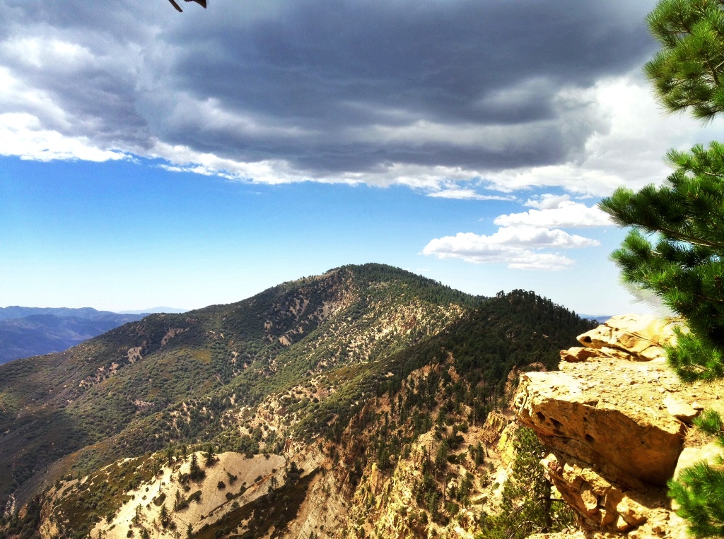
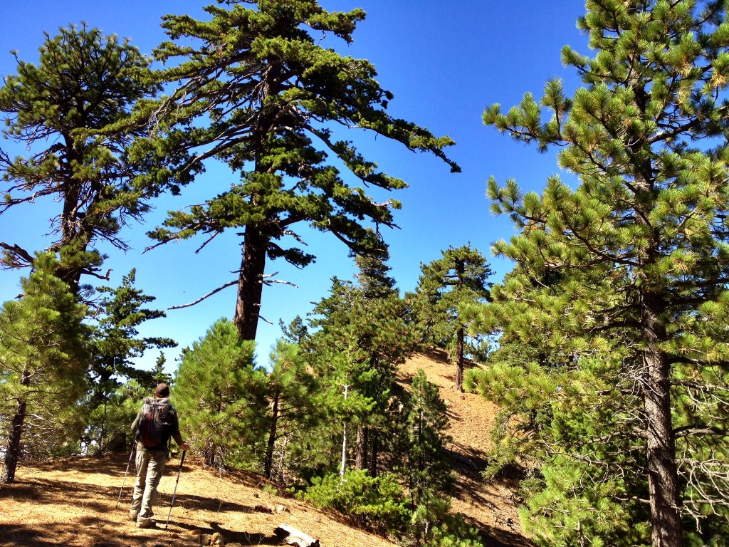
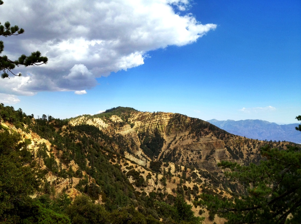
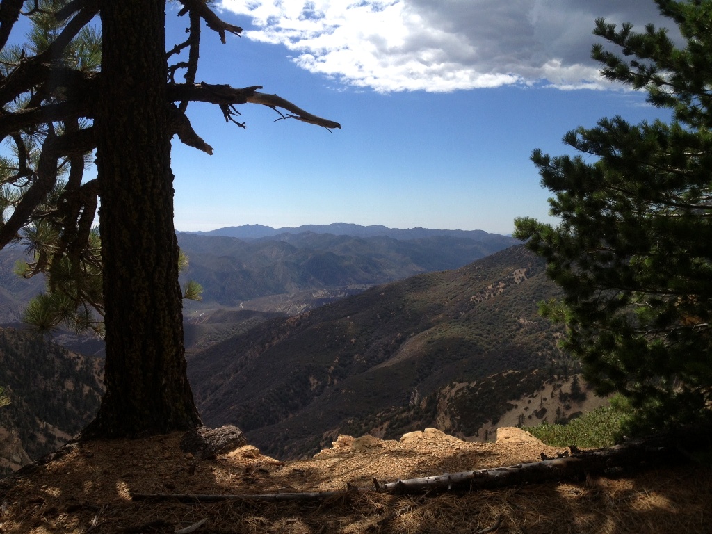
Haddock Mountain summit (7,431′).

Related Posts:

Haddock Mountain Descent to Sespe Creek via Potrero John Creek

The Pine Mountain Punisher: 22 Mile Day Hike

Posted in Ventura County | Tagged , , , , , , , , , , | 4 Comments

Stealing Condor Eggs (1899)

The San Francisco Call September 03, 1911An illustration originally published in the San Francisco Call newspaper in 1911.

“CALIFORNIA CONDOR
A RARE BIRD WHOSE EGGS ARE VALUED AT $18,000 A DOZEN

It is not generally known that among the fads of the day the collecting of birds’ eggs is one that interests the cultured and wealthy, and one that may be very expensive to indulge in, while it affords a mild recreation to thousands of individuals of moderate means.”

Fort Worth Gazette, December 28, 1895

American newspapers in the late nineteenth and early twentieth centuries chronicled the exploits of men raiding condor nests in the mountain ranges of California to take eggs as trophy souvenirs and to sell. Eighteen thousand dollars in 1895, adjusted for inflation, equates to over $2 million dollars today.

Many of these newspapers remarked on the dire plight of condors and their declining population and some predicted their inevitable extinction. Yet, ironically, in the same stories, they spun romantic yarns about the heroic adventures of nest raiders.

“Why are the eggs of the California condor so valuable?” an egg raider is quoted as asking in an article titled, “Hunt for a Condor’s Egg,” which was published in the New York Sun in 1900. “Because the birds are almost extinct now,” he answered, “and will be wholly extinct in less than ten years.” The story states that the eggs were worth “$1000 or more each to collectors” and it relates his planned excursion into the Sierra Nevada Mountains in search of condor nests to plunder.

Perhaps most puzzling of all is the fact that some of the most noted egg raiders were ornithologists and zoologists. In other words, they were scholars and scientists one might think would have been more concerned with the preservation of the species rather than trophy hunting and profiteering, actions which obviously would only serve to help drive the California condor closer to extinction.

In a spiraling chain of deadly events that propelled its own momentum, as the California condor became rarer, the value of its eggs increased further incentivizing the taking of yet more eggs. With such remarkable profit as a lure, and virtually no laws or social mores protecting condors of the time, it’s a wonder how the giant vultures survived as well as they did through these precarious times.

California condor nest cave National tribune November 14, 1895California condor chick National tribune, November 14, 1895Illustrations originally published in National Tribune in 1895 accompanying a story about the taking of a condor egg.

California condor San Bernardino Daily Arizona Silver Belt, June 04, 1908A photo of men climbing in the San Bernardino Mountains “to capture a young condor.” It was originally published in the Arizona Silver Belt in 1908 accompanying the following blurb:

“Among birds threatened with extinction is the condor of California, a very rare species long hunted on account of its plumage and becoming rarer every year. Before long the condor will be harder to find than the epyornis of Madagascar and the dodo. Its eggs are very rare and are valued at from $250 to $300, not to speak of the risks run in securing them. William L. Finley, president of the Oregon Audubon society, has had many thrilling experiences in the San Bernardino mountains studying the condor at close range and photographing the birds. In this picture the scientist and his assistant are shown climbing to a dizzying height to capture a young condor.”

San Roque Canyon, Santa Ynez MountainsSan Roque Canyon, Santa Ynez Mountains.

In a previous entry on this blog, Desperate Fight with Condors: Narrow Escape of Santa Barbara Man (1899), a newspaper story about the taking of a condor egg from a cave in the Santa Ynez Mountains of Santa Barbara was shared. It features two men, Frank Ruiz and Fred Forbush.

The excerpt below represents a select portion of the official record of this incident, as taken from the book authored by Sanford R. Wilbur, “Nine Feet from Tip to Tip.” The excerpt is shared here with express permission from Mr. Wilbur, who led the U. S. Fish and Wildlife Service’s California condor research and recovery program from 1969 to 1981.

Visit his Website, Condor Tales, for further information. An entire chapter in “Nine Feet from Tip to Tip” is dedicated to egg collecting including in the canyons of the Santa Ynez Mountains. Frank Ruiz, Mr. Wilbur told me, took two eggs “apparently both out of San Roque.”

As an aside, the mention below of the work performed by Frank Ruiz and Fred Forbush for the Pacific Improvement Company, in order to supply the Hope Ranch community with water, ties-in with a previous post on this blog regarding water from a well bored into San Roque Canyon used to maintain Laguna Blanca Lake in Hope Ranch.

San Roque Canyon from Laguna Blanca in Hope RanchSan Roque Canyon as seen from Laguna Blanca in Hope Ranch.

RECORD NUMBER: 32
DATE: 17 April 1899
LOCATION: San Roque Canyon, Santa Barbara County, California
COLLECTOR: Frank F. Ruiz and Fred Forbush
CURRENT LOCATION: Museum of Comparative Zoology (Cambridge,
Massachusetts)

HISTORY: Frank Ruiz and Fred Forbush, employees of the Pacific Improvement
Company, were surveying in San Roque Canyon near Montecito, California,
preparatory to developing a water supply for Hope Ranch. Two condors flying in the canyon 17 April 1899 attracted their attention, and they followed the birds to the nest
site. W. Lee Chambers (Santa Monica, California) apparently purchased the egg from
Ruiz, then sold it to John E. Thayer (Lancaster, Massachusetts). The Thayer collection
eventually was secured by the Museum of Comparative Zoology (Cambridge,
Massachusetts), where the egg is currently.

COMMENTS: The Chambers data slip accompanying this egg gives the collection date
as 13 June 1899. However, a published account that describes the taking of the egg and
gives the date as 17 April 1899, was prepared by the author 2 May 1899 (Redington
1899).

The Chambers data slip located San Roque Canyon in the San Rafael Mountains.
Actually, it is on the south slope of the Santa Ynez Mountains, which are separated
from the San Rafaels by the canyon of the Santa Ynez River.

“On April 17, 1899, an egg of the California Condor was taken in San Roque canon,
near Santa Barbara, by F. Ruiz, a surveyor in the employ of the Pacific Improvement
Co., who, with a party, was doing some work in the canon. His attention was first
attracted by seeing a pair of the birds flying about, and it occurred to him that there
might possibly be a nest in the vicinity…. He and a companion named Forbush
proceeded up the canon, and finally noticed a cave on a high cliff some 150 feet above
the creek, which they managed to reach with some difficulty. From the top Ruiz was
enabled to look over the edge a short distance into the cave, where he saw the egg on
the floor of the cave, with one of the birds crouched on the floor beside the nest, which
consisted of a few twigs of brush and some sand that had evidently blown into the cave
from the edge of the cliff… Then Ruiz clambered down into the cave without the aid of a
rope… The egg was perfectly fresh and measured 4 3-10 x 2 6-10 inches and was a
trifle deeper in color than those I have seen illustrated.”
. . .
“Nest was located upon a high rock in a cliff and was made of twigs, brush, and other
coarse material.” Added statement by Chambers: “The above statement about the nest
is probably literally true as the nest was on a brushy side of the mountain and certain
sticks and grasses had doubtlessly fallen there as has been the case in other instances.
The above date given for the taking of the egg is the latest of any eggs I have record of
yet as the dates heretofore have run from Feb. 17 to May 25 (32 eggs).”

Related Posts:

Condor in a Cage: Time Line of Tradegy | Condor Point |Condor Feather | Whiteacre Peak, Fossilized Bones, Cougar Prints and Condors | California Condor Photos

Posted in Santa Barbara | Tagged , , , , , , , , , | 7 Comments