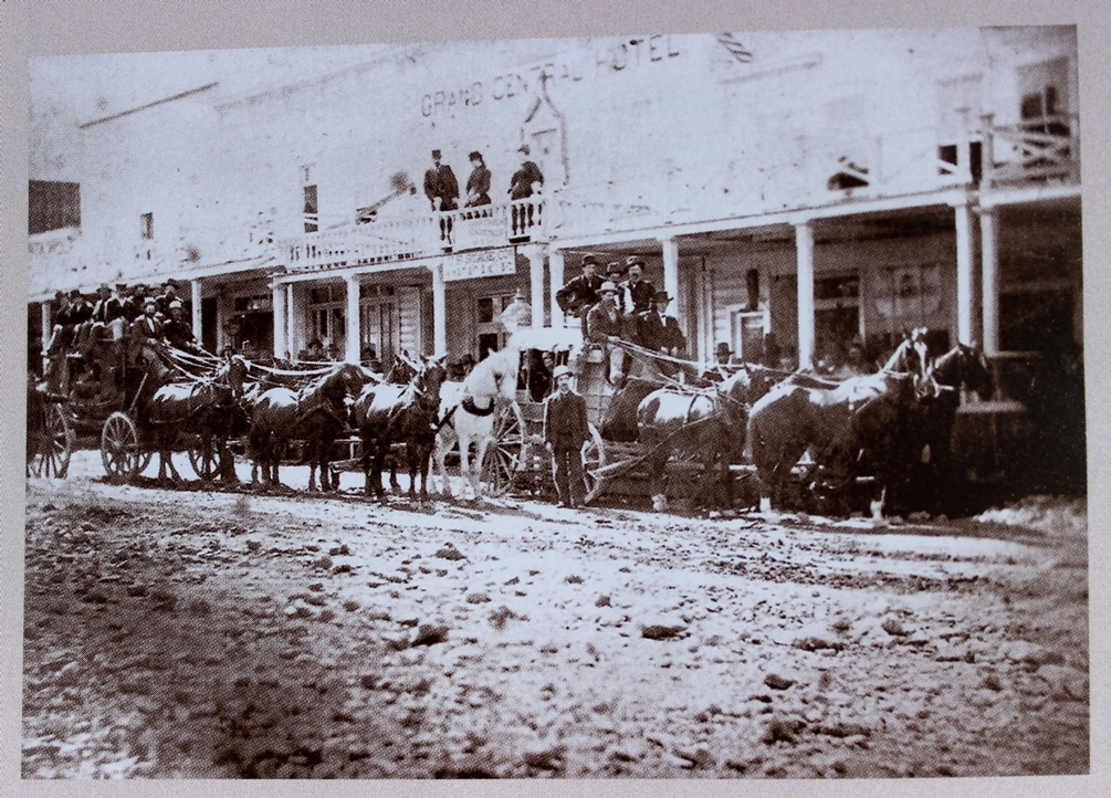
 Stagecoaches in front of the Grand Central Hotel on Main Street in 1880.
Tucked away in the hills of Mono County is Bodie, with scarce 800 inhabitants. It is a peaceful, respectable town now, but time was when it contained 12,000 erring and excitable souls. Then “a bad man from Bodie” was a synonym for wickedness and daredeviltry, throughout the state, and Bodie, knowing this, was proud and tried to live up to its reputation.
It succeeded. Nowhere this side of the Rocky Mountains were there more wanton killings. Nowhere were more reckless displays of daring. It was a happy hearted time. If men died with great suddenness they also lived to the full every hour of their lives. Money was plentiful, for the mines were panning out and paying well. The numerous dance halls and gambling halls could be relied on to furnish ample excitement, and when this palled there were always shooting scrapes, lynchings, funerals, and then more shooting scrapes.
—Introduction to an article written by Maude Grange and published in the San Francisco Call newspaper on July 7, 1907
Bodie is becoming a quiet summer resort—no one killed here last week.
—Bodie Daily Free Press 1881
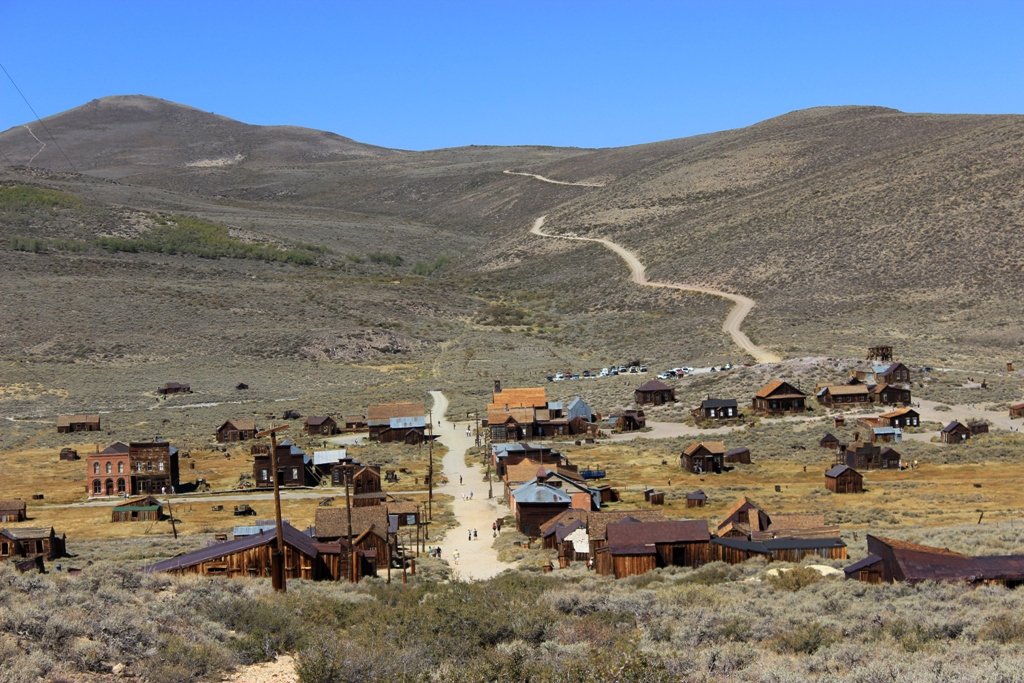
Bodie is an historic gold mining ghost town located at over 8000 feet elevation on the eastern edge of the Sierra Nevada Mountains in Mono County, California. During its heyday in the 1880s it was a stereotypical bustling, rough-and-tumble boom town of the American west.
Drinking, gambling, violence and prostitution seemed to be favorite pastimes along with opium parlors, though other upright citizens carried on more tempered and respectable family lives.
According to the book “Saga of Wells Fargo,” there were 30 mines operating in Bodie during its height of activity and establishments that served alcohol numbered “something better than one to a mineshaft.” This for a town of 5,416 people, according to the U.S. census count taken in mid-1880, though estimates vary.
“The workingman off duty was confronted with a bewildering choice of oases on which to lavish his patronage,” reads the book. “At all of these, the products of the town’s three breweries—the Bodie, the Pioneer, Pat Fahey’s—were the favored chasers. … The river of life flowed at its fullest in Bodie, both around and through its citizens.”
Today about five percent of the town’s historic buildings remain and the site is a designated State Historic Park.
 Bodie has been the subject of much myth making and exaggeration, and inaccuracies either intentionally or unwittingly promoted and repeated. Some of which have, apparently, been included in the official State Park literature. Michael H. Piatt, author of “Bodie: ‘The Mines Are Looking Well …’,” has written about and debunked some of the most prominent myths (bodiehistory.com).
The following text is taken from the visitors brochure:
Bodie was named after Waterman S. Body (also known as William S. Bodey), who discovered gold here in 1859. The change in spelling of the town’s name has often been attributed to an illiterate sign painter, but it was a deliberate change by the citizenry to ensure proper pronunciation.
The town of Bodie rose to prominence with the decline of mining along the western slope of the Sierra Nevada. Prospectors crossing the eastern slope in 1859 to “see the elephant”—that is, to search for gold—made a rich discovery at Virginia City. This huge gold strike, later to be known as the Comstock Lode, started a wild rush to the surrounding high desert country.
By 1879 Bodie boasted a population of about 10,000 and was second to none for wickedness, badmen, and the “worst climate out of doors.” One little girl, whose family was taking her to the remote and infamous town, wrote in her diary: “Goodbye God, I’m going to Bodie.” The phrase came to be known throughout the West.
Killings occurred with monotonous regularity, sometimes becoming almost daily events. The fire bell, which tolled the ages of the deceased when they were buried, rang often and loud. Robberies, stage holdups and street fights provided variety, and the town’s 65 saloons offered many opportunities for relaxation after hard days of work in the mines. The Reverend F. M. Warrington saw it in 1881 as “a sea of sin, lashed by the tempests of lust and passion.”
Nearly everyone has heard about the infamous “Badman of Bodie.” Some historians say that he was a real person by the name of Tom Adams. Others say his name was Washoe Pete. It seems more likely, however, that he was a composite. Bad men, like bad whiskey and bad climate, were endemic to the area. Whatever the case, the streets are quiet now. Bodie still has its wicked climate, but with the possible exception of an occasional ghostly visitor, its badmen are all in their graves.
Between 1860 and 1941, the Bodie Mining District produced close to $100 million in gold and silver. During those years, gold prices ranged from $20 to $35 an ounce; the price of silver ranged from 70 cents to $1 an ounce.
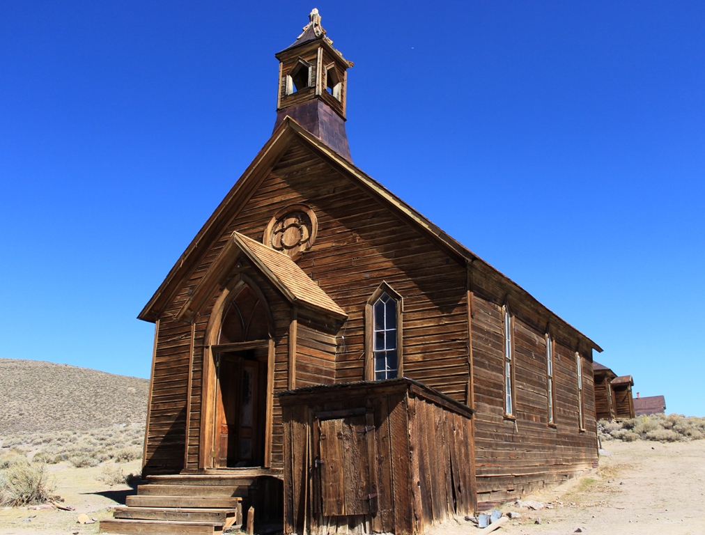 Methodist church

 The J.S. Cain residence. He purportedly mined $90,000 in gold in 90 days on a plot of ground leased from Standard Mine and Mill, which refused to renew his lease. That amounts to over $2 million in 2012 dollars.
 James S. Cain and Martha Cain, married in Carson City, Nevada, September 17, 1879
 “The small sawmill was used for cutting firewood. With snow as much as 20 feet deep, winds up to 100 miles and hour, and temperatures down to 30 or 40 degrees below zero, plenty of firewood was needed to keep Bodie’s poorly constructed houses warm during winter.”


 The interior of a Bodie house.

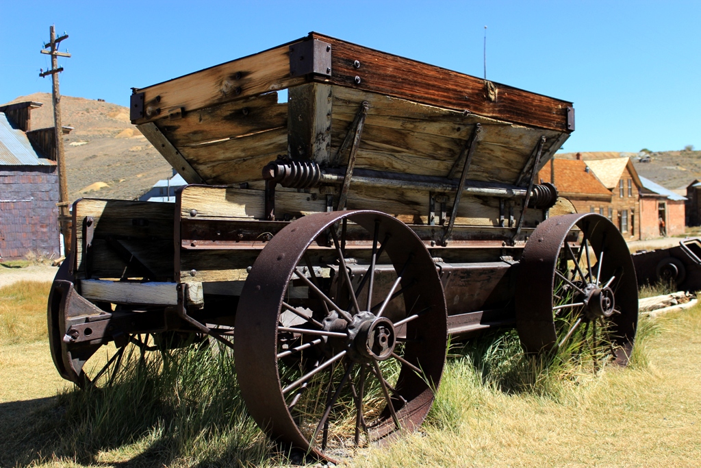
 Ore cart
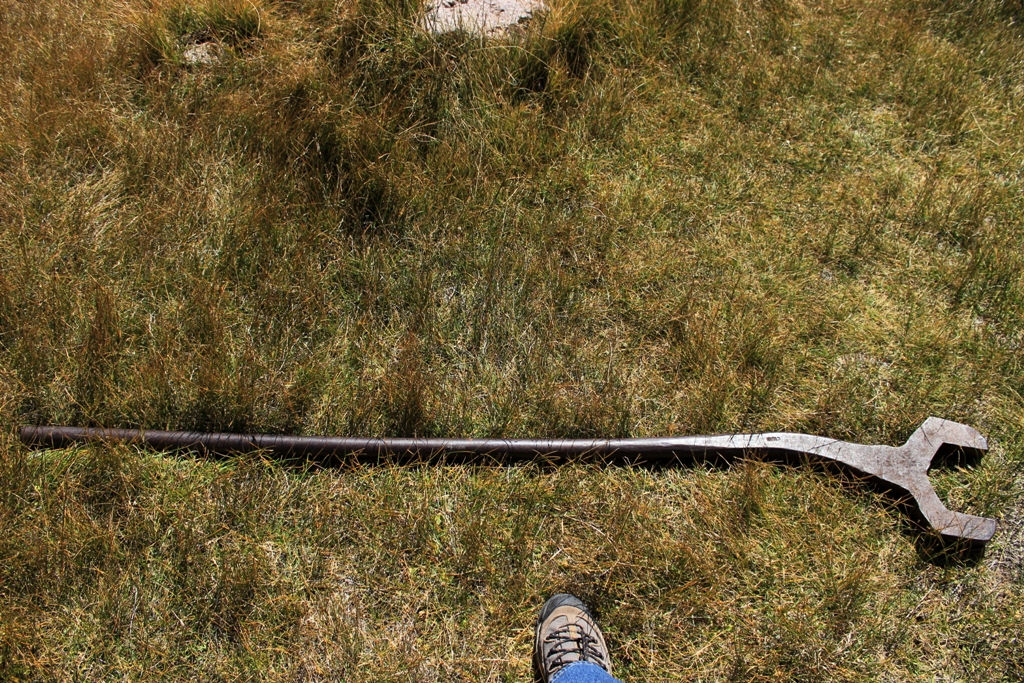 Small wrench

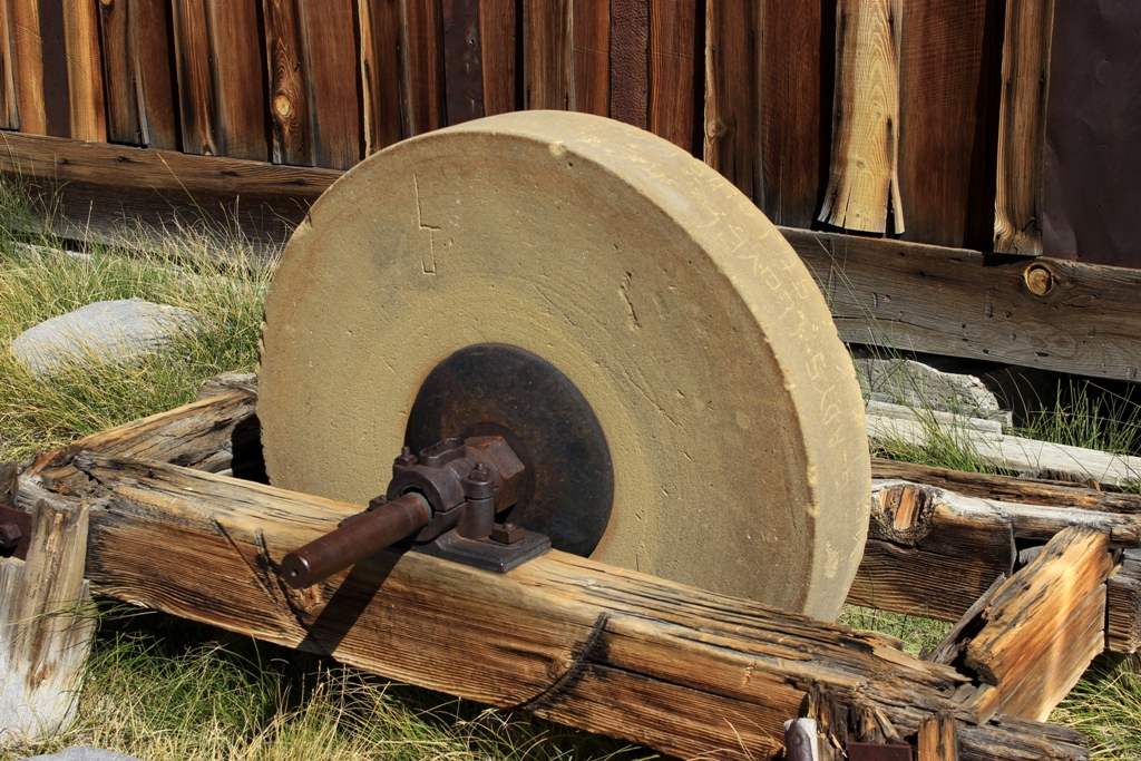 Sharpening stone

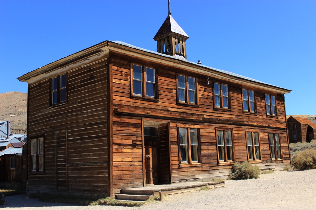 Schoolhouse

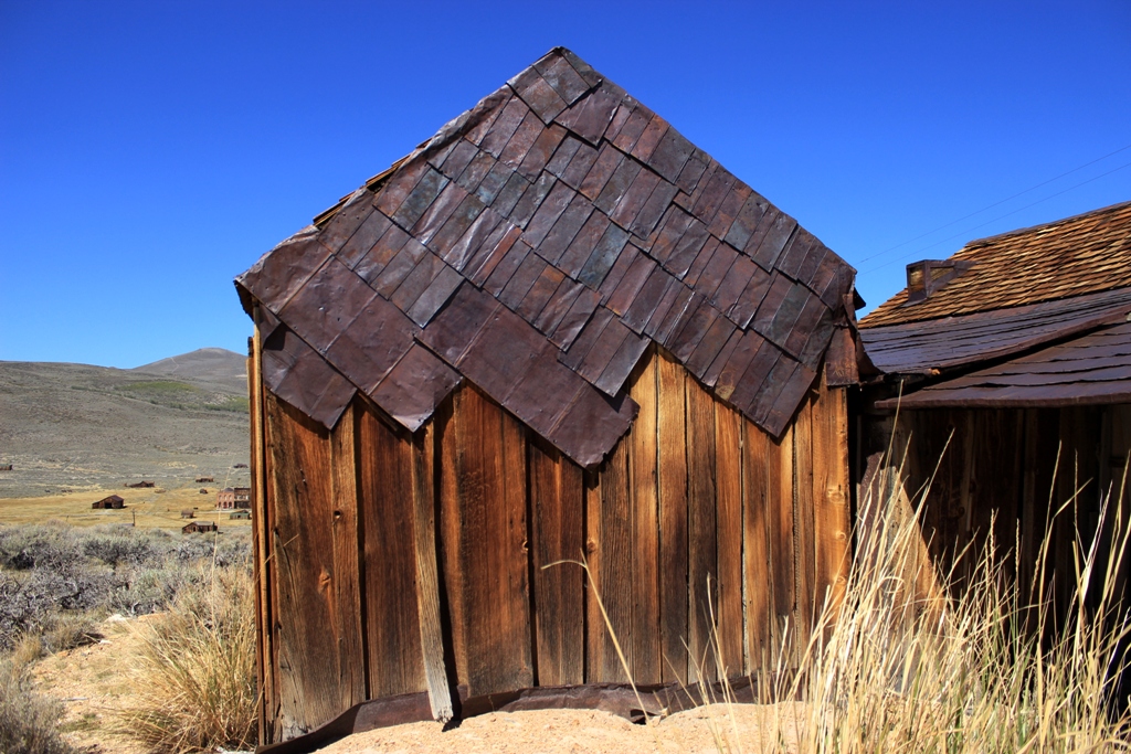
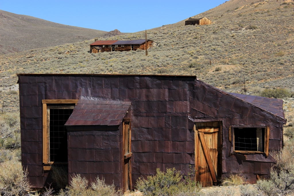
 Shingled roof made from recycled tin containers. Many of the houses in Bodie are cleverly faced or roofed in this manner.
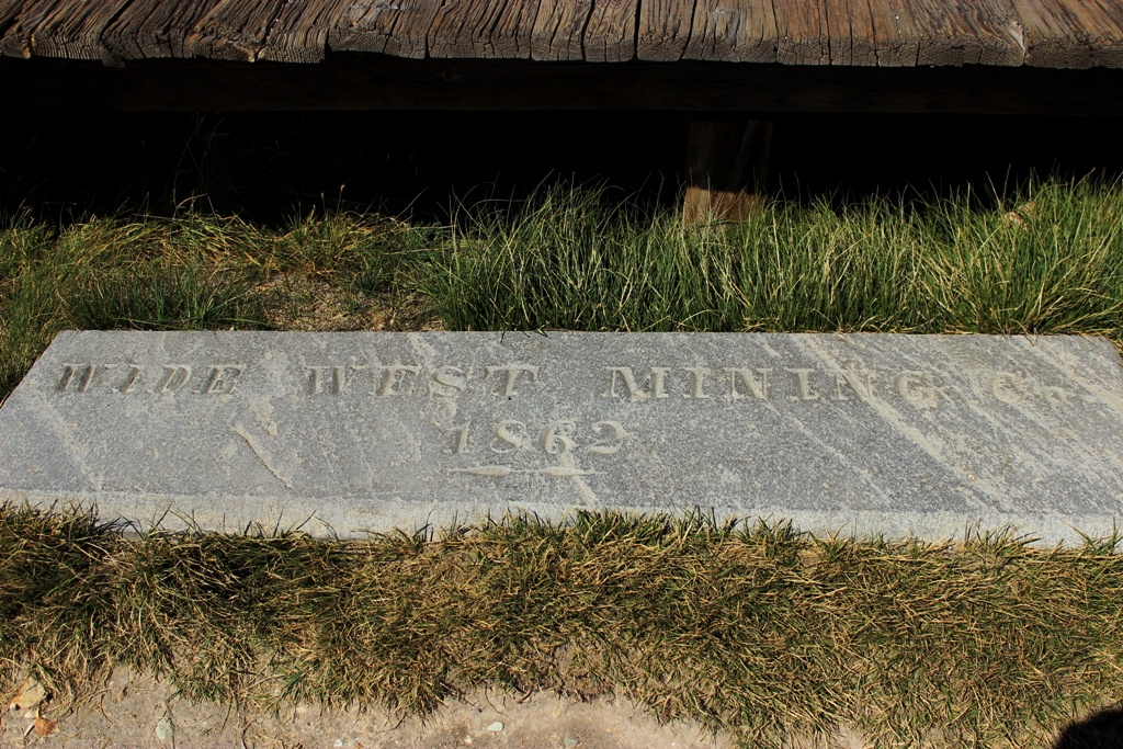 “Wide West Mining Company 1862”

 Dechambeau Hotel and Post Office on the left. The Bodie Independent Order of Odd Fellows (I.O.O.F.) used the upper floor of the building on the right, which also housed the Bodie Athletic Club and at one time an undertaker’s business.


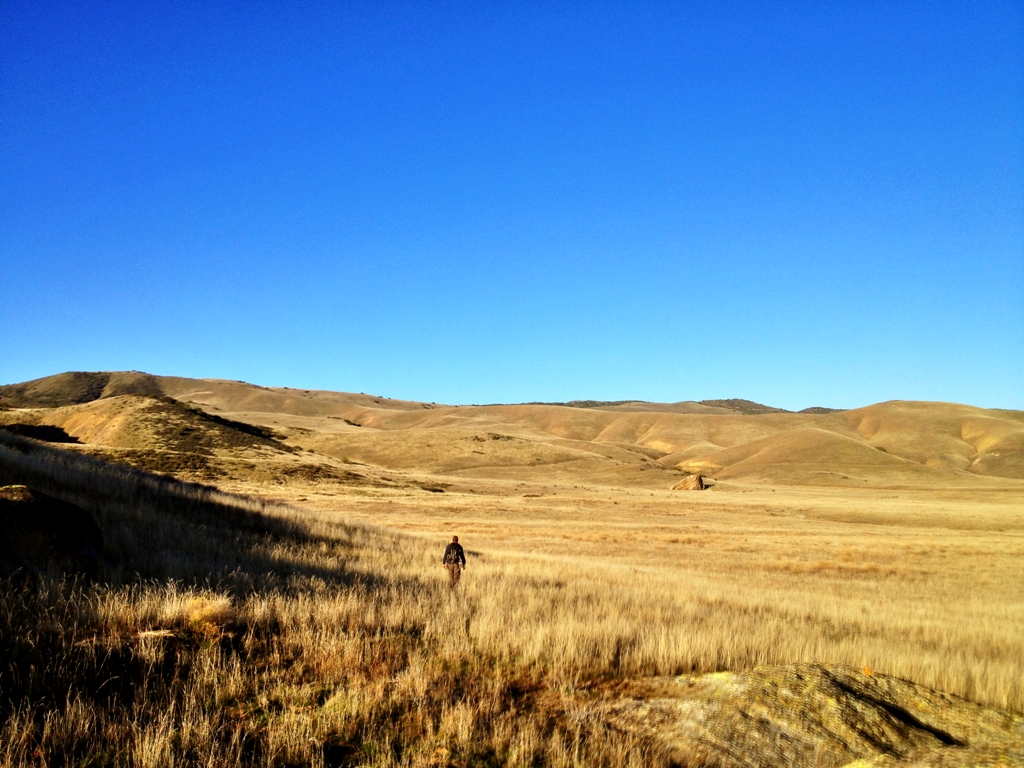

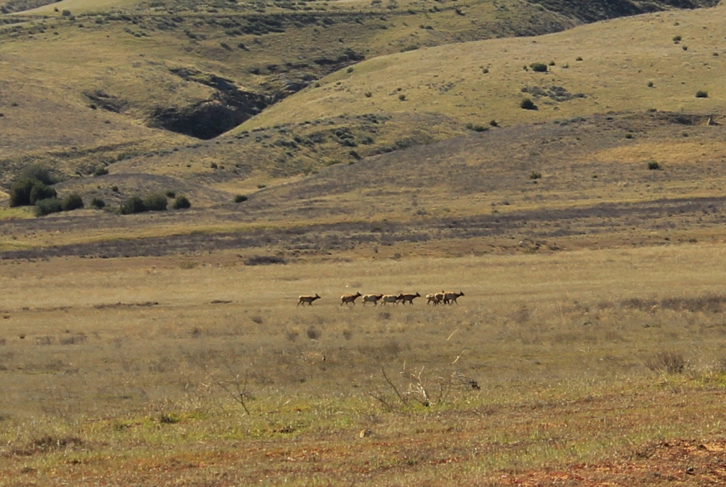
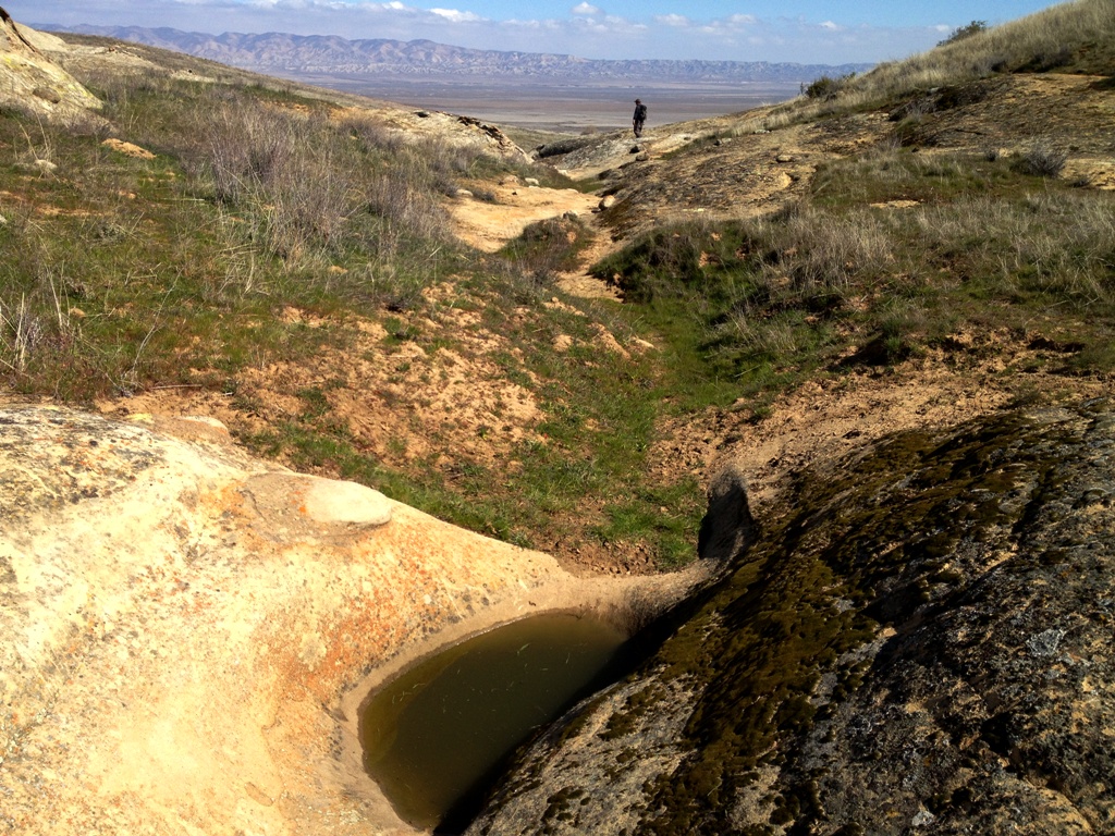


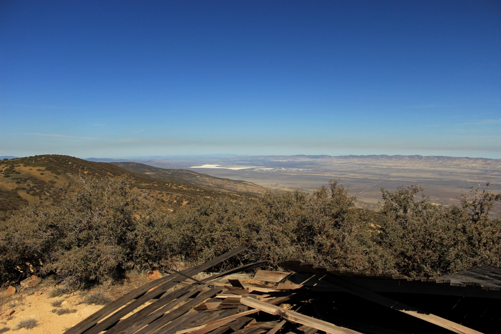
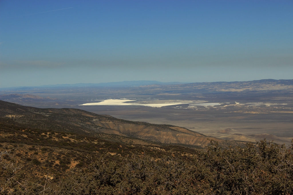
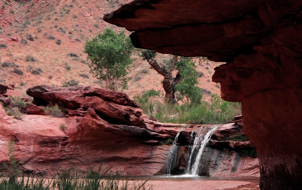
 Overlooking the Caliente Range foothills at night from Selby Camp lookout, the white saltpan of Soda Lake seen in the distance.