Carrizo Tom

418 YB
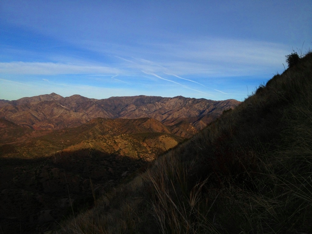
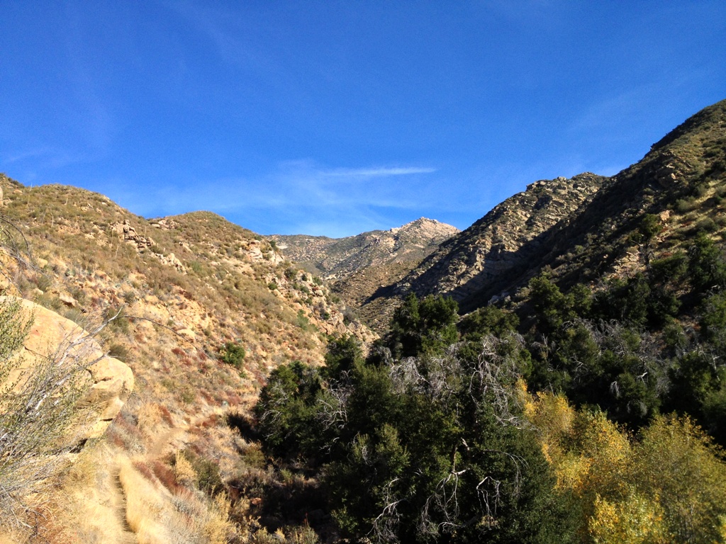
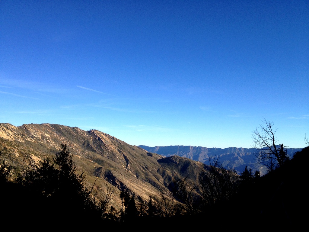
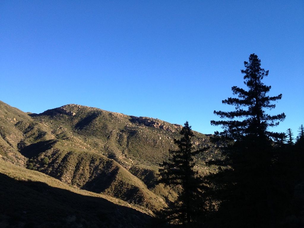
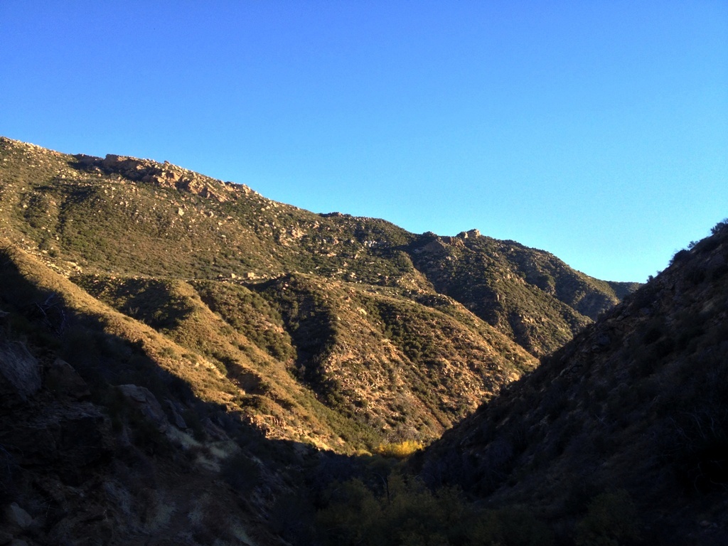
The Carrizo Plain in the hinterlands of San Luis Obispo County, CA as seen from atop the

I first drove the road 12 years ago. Over the years since then I’ve seen more pronghorn antelope than people out thataway. One midafternoon I came upon a guy hunched over the engine of his broken down truck. Unless I turned around I had no choice but to drive by him. I didn’t want to stop, but I couldn’t rightly pass him by. It was at least a half day’s walk to the closest thing that might be called civilization, which was little more than a few trailer homes. The temperature was in the nineties and the only trace of shade around fell in thin stripes behind fence posts and blades of dried grass.

I rolled to a halt in the middle of the road, turned off my engine and stepped out. He leaned around the raised hood of his battered old Ford peering at me through two slits in his sun-puckered raisin face. “Need a ride?” I said. He looked at his rig, the ticking of my hot engine punctuating the heavy silence. I wanted him to say no. He raised and let fall four fingers that drummed one after the other across the top edge of his raised hood. “Yeah,” he said. I considered him with renewed interest trying to assess whether or not I just invited a psychopath to sit a foot away from me in the middle of nowhere. I had to be the good Samaritan didn’t I? Should’ve been the cynical bastard that just drives on by.

The golden valley shimmered before us in the radiance of summer as we drove up the plain. The truck filled with the sour fumes of metabolized alcohol that seeped from his tiny exhaust pipe pores and billowed from his cracked lips with the few words he uttered. He said he lived out there. More like survived. Who the hell would live out there? What type of person? The land probably looked the same a thousand years ago just without the barbed wire and dirt road. There was nothing around. I scanned the barren plain wondering if he meant he actually had a house of some sort. Maybe a thin sheet metal wrapped hovel with rotting tires and tin foil pressed against the windows for curtains, a collection of empty bottles piled about its interior.

With a few points of his finger and a couple of mumbled words we ended up at his friend’s house, a lone outpost in the midst of the valley. I pulled up to a locked metal gate just off the dirt road and a man behind it halted whatever he had been working on to glower at me. A lush garden erupted triumphantly from the soil around his double-wide trailer in defiance of the arid climate. A storage shed stood connected to the mobile home by a long overhang that provide a covered workplace and various large tools and equipment dotted the yard. A flag pole poked into the sky, its banner waving lazily in the light breeze. It was a terrestrial spaceship, a self-contained survival unit existing in the vast space of the plain.

If the long distance from others wasn’t sufficient division then the imposing institutional barrier enclosing the parcel made the separation unequivocal. The strictness of the enclosure cast and uneasy vibe across the otherwise serene openness of the plain. Sequestered from the metropolitan community in a wasteland, and locked behind the suspiciously tall fence walling off his frontier fort oasis from the outside world, the man staring at me obviously wasn’t accustom to strange visitors much less appreciative of outside company. Was it wise security measures by a self-reliant resident of the boondocks, paranoid reclusion or militant defense of the unwarranted?

My passenger slid from the cab muttering his thanks once more. “What’s your name?” I asked just before he swung the door shut. “Tom,” he said. Later that afternoon on my way home, on back down the plain, I drove past Tom in his truck being pulled with a ratty old rope by his friend in his truck. Nobody waved.

Soda Lake Road
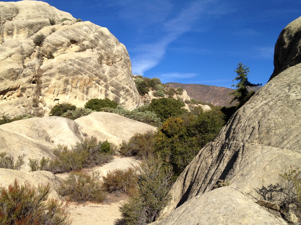
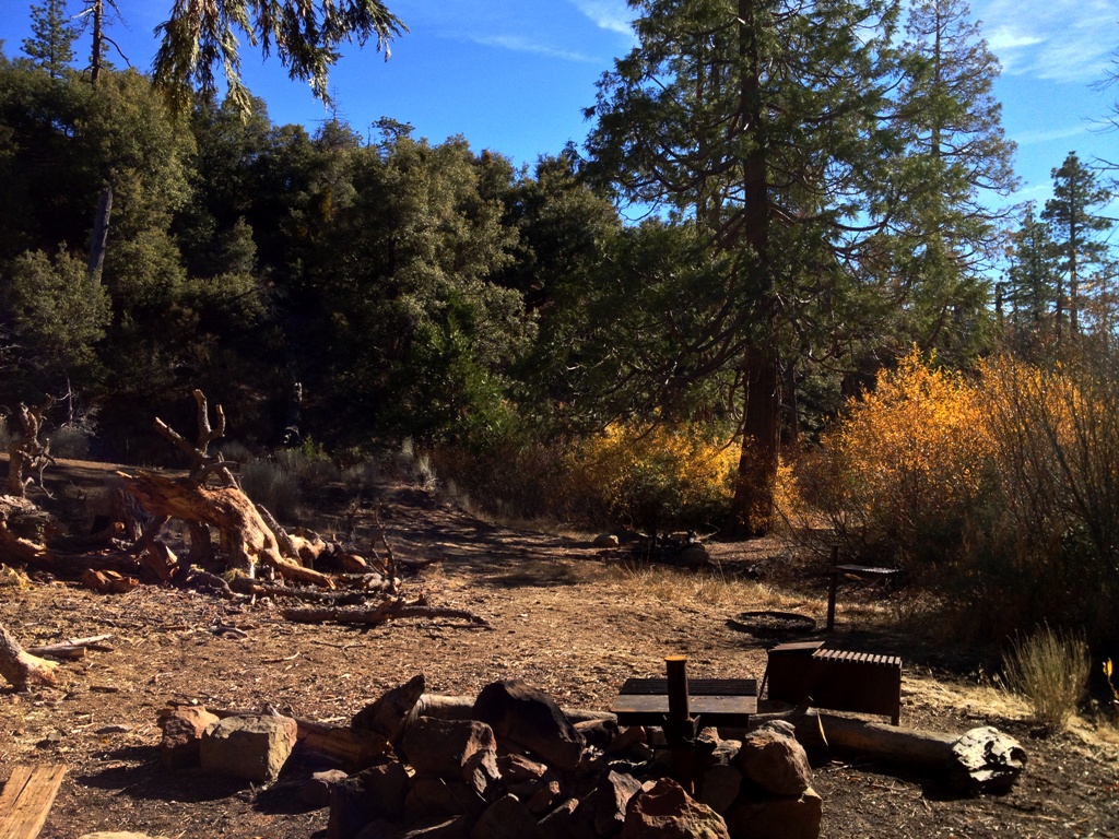
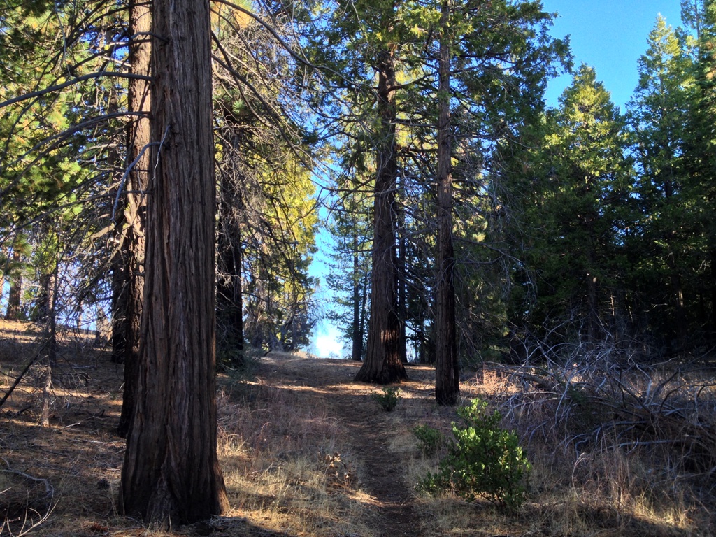
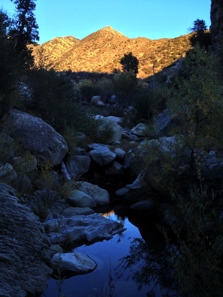
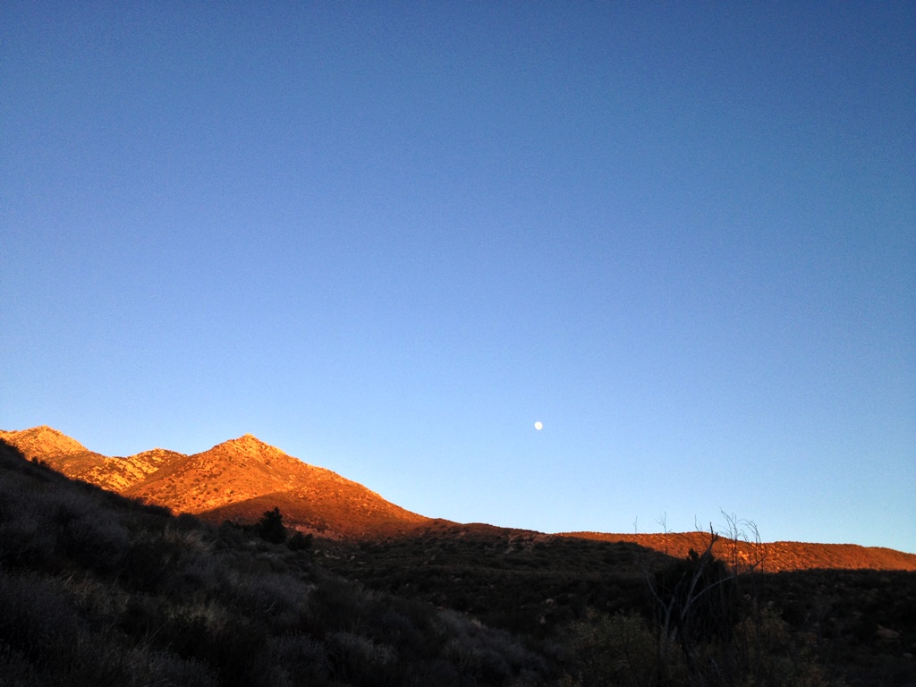
A road less traveled on the Carrizo Plain.

Posted in San Luis Obispo County | Tagged , , , , , , , , | 5 Comments

Whiteacre Peak, Fossilized Bones, Cougar Prints and Condors

condorCalifornia condor soaring over Whiteacre Peak.

Stillman (DavidStillman.blogspot.com) had a good idea, which by the end of our day turned out to be an excellent idea, to find a route to the summit of Whiteacre Peak in the Sespe Wilderness. It’s a “Seldom Visited Site,” as it’s called among backcountry hikers and the current summit register, started in 2002, reflects this unofficial status. The last person to sign-in did so in 2007.

Whiteacre Peak rises to the east of, and overlooks, the Dough Flat Trailhead which provides access into the Sespe Wilderness and from which we started our hike. While we passed numerous cairns along portions of the chosen route, once off the official Sespe Trail there is no trail. There is only well-tramped animal paths to follow separated by dense chaparral. We were following the many footprints of deer, bobcats and mountain lions that had been left following the recent rain.

The route plotted by Stillman made for an exceptional day hike. It comprised a sprinkling of all the herbs and spices that make for a recipe of challenging, but fun hiking. We started on the Sespe Trail, left that wide open pathway and walked one of the low ridges that spread like fingers off the base of Whiteacre Mountain, climbed up a steep and lengthy 45 degree grassy slope, trod across more chaparral covered ridgeline, through a grassy potrero, threaded our way through a steep rocky slot which included a few feet of rope climbing and crawling on hands and knees through a brush tunnel, across sandstone bedrock slabs and boulders while busting through sections of dense chaparral, down through a deep cleft between the bedrock formations just beside and below the peak, and then on up the rock slabs to the summit. It was an interesting hodgepodge of landscape features that kept us well entertained.

On our ascent Stillman spotted a mountain lion print in the sandy dirt amid the rocks near the rope section through the steep rocky slot. On our way back we noticed lion prints in several locations as they followed the ridgeline. It’s quintessential lion territory up there.

Atop the mountain bedrock slabs form eye-catching terrain that’s fun to explore with caves, small flat grassy pockets, water seeping down rock faces and several depressions in the stone filled with rain water. Together the features combine to form, aside from an aesthetically pleasing environment, a rather hospitable place for wildlife. It’s remote, seldom visited by humans, and water is seasonally available.

Having left Whiteacre summit we sauntered back down the rocks and picked around checking the place out for a bit. Stillman went his way, I went mine. Sometime later Stillman called my attention to a fossilized bone he had found. Looking around the area we found several other chunks of fossilized bone.

And then came the condors. Circling into view, riding the thermals ever higher, they soared over Whiteacre for several minutes before one of them spotted us a short distance away and came sailing our way. The giant bird flew right over my head offering me the opportunity to capture the leading photo in this post. It then doubled back and landed on Whiteacre Peak where we had been sitting a short time earlier. Following that, the highlight of what would have been already an exceptional day, there is nothing else worth mentioning. And so I won’t.

White acre 4The steep grassy slope we followed up the mountain. San Rafael Peak is visible in the distance on the left.

WHiteacre 6.1The approach through the potrero to the steep rocky slot with the short rope section. The red arrow notes the slot, which from a distance does not look passable.

whiteacre 4Stillman making quick work of the rope climb.

Whiteacre 5Looking back over the potrero we crossed. It’s crisscrossed with deer trails and we saw a few bounding about.

Whiteacre 7The deep cleft between the bedrock formations just beside and below the peak. To the right of the chaparral rises another massive wall of sandstone that leads to the summit.

Whiteacre 3The final walk up to the summit showing Stillman looking down into the cleft shown in the previous photo above.

Stillman Whiteacre SummitStillman atop Whiteacre Peak with the rocky ridgeline we followed to get there on the right.

stillman whiteacre
WhiteacreView from Whiteacre summit. Sespe Trail runs through the lower foreground terrain.

Whiteacre 2

Whiteacre 7Fossilized bone Whiteacre 8condor 2Condor landing on Whiteacre Peak.

Posted in Ventura County | Tagged , , , , , , , , , , | 8 Comments

Los Padres Tree Lobster

Hericium 3Hericium in a hole.

A Hericium mushroom I harvested today. When sauteed in butter and olive oil it tastes remarkably similar to lobster. It’s a choice wild edible.

Hericium 2Meat

HericiumLion’s Mane

Related Posts:

Hericium Mushrooms

Posted in Uncategorized | Tagged , , , , , , , , , , | 4 Comments

Pine Mountain from Piedra Blanca

An iPhone’s-eye view of a day hike I took this last Sunday up the Gene Marshall-Piedra Blanca National Recreation Trail to Pine Mountain Lodge Camp. It’s about six miles to the top with some 3000 feet of elevation gain.

Gene Marshall-Piedra Blanca Trail through the rocks of Piedra Blanca.

Trail on left along North Fork Piedra Blanca Creek.

Climbing up along the creek.

Pine Mountain environs.

Pine Mountain Lodge Camp.

Ice can stove

Pine Mountain 16 (2)Pine Mountain environs.

The main Pine Mountain Lodge Camp

Pine Mountain 15

Trail leading off the edge of the mountain toward Piedra Blanca.

View from trail on the way home.

Pine Mountain 11Looking down North Fork Piedra Blanca Creek.

Posted in Ventura County | Tagged , , , , , , , , , , , , | 3 Comments

Bending the Map in Bear Canyon (Sespe Wilderness)

Falls

“Whenever you start looking at your map and saying something like ‘well, that lake could have dried up,’ or ‘ that boulder could have moved,’ a red light should go off. You’re trying to make reality conform to your expectations rather than seeing what’s there. In the sport of orienteering, they call that ‘bending the map.’”

—Edward Cornell professor of psychology at the University of Alberta, as quoted by author Laurence Gonzales in Deep Survival: Who Lives, Who Dies, and Why

Bear Canyon creek cuts a narrow gap through the foot of the mountain towards its confluence with Sespe Creek. It’s a canyon patchily shaded by oak, maple, sycamore, alder and fir trees, with a couple of looming cliffs rising high overhead, and a seasonal creek that flushes through sections of massive boulders.

Slinking quietly into the canyon mouth with deliberation, I waded slowly into several thigh to waist deep pools of still water, the ripples lapping the creek banks sounding like the gentle slap of water against a boat hull. After the first four miles of trail, under that deadly sun and through the chaparral above and along the dry Sespe, Bear Canyon was a welcomed shady oasis with cool, clear flowing water.

The creek went dry shortly thereafter, however, and transitioned into significantly more rugged, bouldery terrain making for a decidedly more strenuous hike. A couple of different spots along the way held several inches of clear standing water in what was otherwise a dry creek bed. It was enough for drinking. The seeps support lush stands of alder trees and at one time not a few marijuana plants by the looks of it.

I found two huge spools of black plastic irrigation hose, as well as a hundred yards of hose run through the creek. Though everything was old and abandoned, it still added a bit of tension to the day’s previously relaxed feel. Alone and unarmed but for a three inch blade, I wished I had brought my USP.

Morning over Sespe Creek, the ball of fire in the sky utterly dominating the landscape and everything else found thereon.

It takes a respectable effort to get up Bear Canyon. Reaching its upper half, as the creek closed in and became tangled in thorny vines, tree branches and logs making forward progress harder, I began the ol’ “How much damn farther” routine in my mind. I wanted to reach my objective post haste, and was straining to match my expectations with the reality I was experiencing though the two did not jibe. If my body was not yet there, my mind was and it would force me to downplay and ignore contrary evidence and just proclaim victory. And so I did.

I rounded a bend to find a drop in the creek where it’s pinched between narrow banks and flows over exposed bedrock. My first thought was a tangle of, “Yes, finally, there it is” quickly followed by, “What a pathetic excuse for a waterfall,” which promptly turned into, “Nah, this can’t possibly be it.” I couldn’t believe that such an unremarkable tiny cascade, if it can even be called that, could possibly be worthy of the label “falls.” I was right. It’s not worthy and it wasn’t the falls. Then somehow, without much more thought, I just decided that it was the waterfall.

The creek bends and winds in a somewhat similar fashion both where I thought the falls were located and at their actual location. In each place the watercourse bends eastward, runs through a sort of “m” shape and then hooks back westward. The contour of the land roughly resembling the topo just enough to make it plausible in my mind, I bent the map, proclaimed my victorious arrival at the falls and went home a champion.

Not until days later did I realize that I’d mislocated myself, that where I stopped was not the waterfall. Idiot! Eight miles of wide open trail and about six miles of off-trail boulder hopping through the creek to go. The chore of returning remains. My mind got in the way the first time.

Sespe Creek Trail

A semi-dried catfish on the trail. It had what looked like puncture wounds on either side of its head, as if chomped by fangs or clenched by talons before being deposited in the middle of the trail.

Sespe Creek

Snake crossing

Sespe Creek

Sespe at Bear Canyon

Lower Bear Canyon

The creek gone dry.

View from the creek.

Looking down canyon.

Tall alder trees lining the creek.

Rattlesnake

The “falls.” D’oh! Nope.

Sespe sunset

Posted in Ventura County | Tagged , , , , , , , , | 11 Comments