
 Grass Mountain on Zaca Ridge along the western edge of Figueroa Mountain in Santa Barbara County (Jack’s Map).
“I never was one for rushing through a country. I like to take my time, breathe the air, get the feel of it. . .I like to smell it, taste it, get it located in my brain. The thing to remember when traveling is that the trail is the thing, not the end of the trail. Travel too fast and you miss all you travel for.”
—Louis L’Amour Ride the Dark Trail
My restlessness is not born of a desire to see anything out there in particular or reach an end. It’s not the attraction of destinations. Sure, I can be lured like a lemming to tourist traps and the world is chock full of sights I want to see. But that is not what fuels my passion for peregrination. Destinations are merely convenient excuses to get moving.
The compulsion stems from an insatiable need to just be out there. Many times I don’t even know where I’m going until I’ve gotten there. “I’m going hiking,” I’ll say. “Where you going?” she’ll ask. “Don’t really know.” I’ll stuff a backpack full of supplies for several days of hiking and wake before sunrise still unsure where I’m headed, other than out yonder through wooded glens and over grassy knolls.
Once out there I’m easily distracted. I’ll get sidetracked by something and spend the afternoon hiking up to take a look and never get around to doing what it was I initially had in mind. I’ll find myself at camp late into the morning. Sometimes I’ll do the same thing in camp in the afternoon, which amounts to not really anything at all.
Yet, I still bother trying to concoct some grand destination upon which I can nail the promise of an entire day. Despite the sense of satisfaction I derive from just being in the mountains, I often overlook or reject what would be a perfectly fine hike because I think it has no objective or endpoint of any interest like, say, a waterfall or something.
 Looking up Birabent Canyon from atop the rock outcrop shown in the previous photo.
And so one Tuesday I tossed it all in the trashcan and struck out on what I had overlooked and shied away from for years and long ago dismissed as pointless. I had frequented the upper reaches of Zaca Ridge and Grass Mountain routinely for wildflower viewing and for picnicking with sweeping valley views, but I had spent relatively little time around the lower reaches of the south slope of the ridge. I had been there, yes, but never did any hiking around.
As per usual, even knowing the general area I was looking to explore, I still had no specific plan but to put one foot in front of the other and get out there. Hell, I got distracted before I even arrived at the foot of Grass Mountain and spent two and a half hours hiking another creek some thirty to forty miles away.
Throughout the day a thought kept nagging at me. I didn’t want to trudge my way to the top of Grass Mountain, what would be at least some sort of destination, but my mind kept egging me on. Did you really drive all the way up here just to wander about the woods for a day? I thought. Well, yeah, pretty much. Although I’d been there before I’ve never had any interest in peak bagging, as they say. And it’s not like the peak is anywhere close to being some valiant triumph of a climb anyway. But I still felt I was wasting my time if all I was to do was to walk around aimlessly. Despite the enjoyment I always derive from loitering in the woods the absence of some destination or objective weighed heavy in my mind.
I ended up following the creek up Birabent Canyon for about two miles and then headed up the steep slope of Grass Mountain’s eastern edge, across its lower half just above the sagebrush and chaparral line and then on back down the western edge of the hill.
As I was climbing my way up the mountain and through the sagebrush a bobcat went bounding through the grass about thirty yards in front of me. They seem to like the south slope of Figueroa Mountain, I’ve seen them in the area before.
Not long after crossing paths with the bobcat I noticed a dozen deer far across the canyon. Despite the distance and my neutral earthy-toned clothing they still seemed to see me and as I moved they did too until they disappeared. The hillside is terraced by animal trails. Having reached the general area where the deer had been I could see clumps of grass nibbled down to bristly little tufts of cropped stems. It looks like a popular place for late afternoon grazing.
Sometimes it’s not about where you’re going only the fact that you are indeed going. I suppose my destination after leaving my truck was, by some circuitous route, my truck. The lack of an objective didn’t lessen the experience. As I headed back down the mountain slope and along the creekside trail toward the road I thought back on the day. What had begun with enthusiasm, but some apprehension from a lack of a worthy sounding plan, ended in the contentment found in a long hike through the woods, where the small surprises that cropped up made it all worthwhile.

 The long shadows of late afternoon on Grass Mountain with a group of deer grazing.
 The parting shot, dusk seen through the barren branches of a valley oak.


 Clint Elliott hanging five.
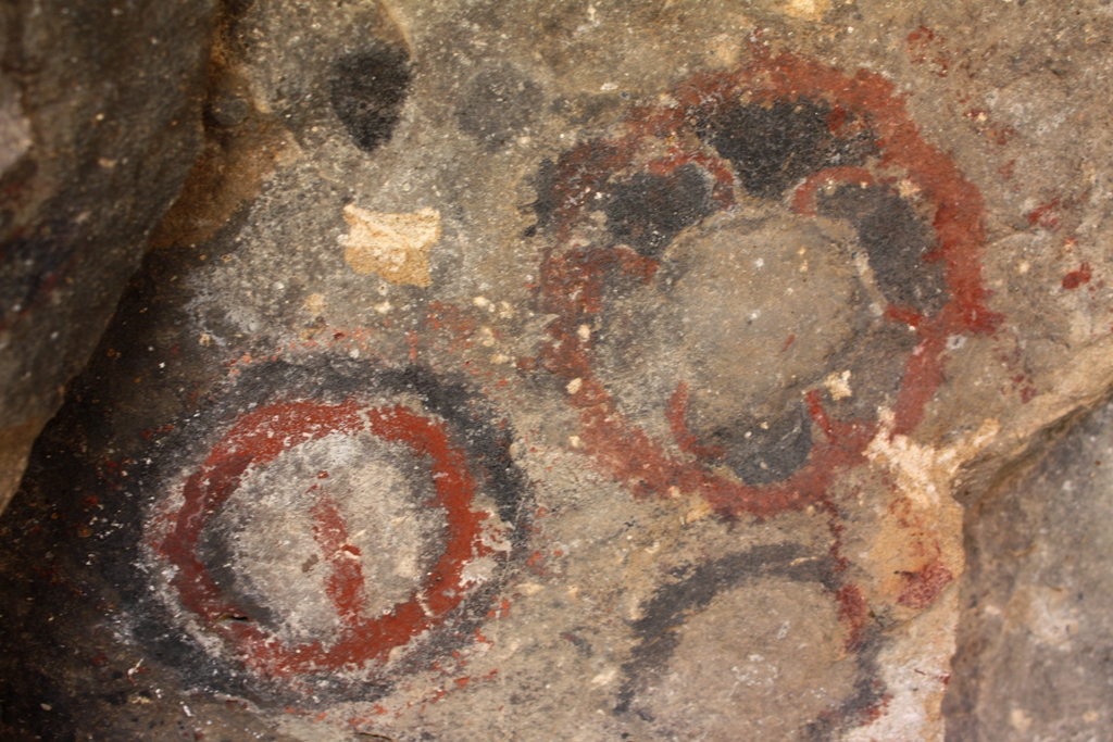
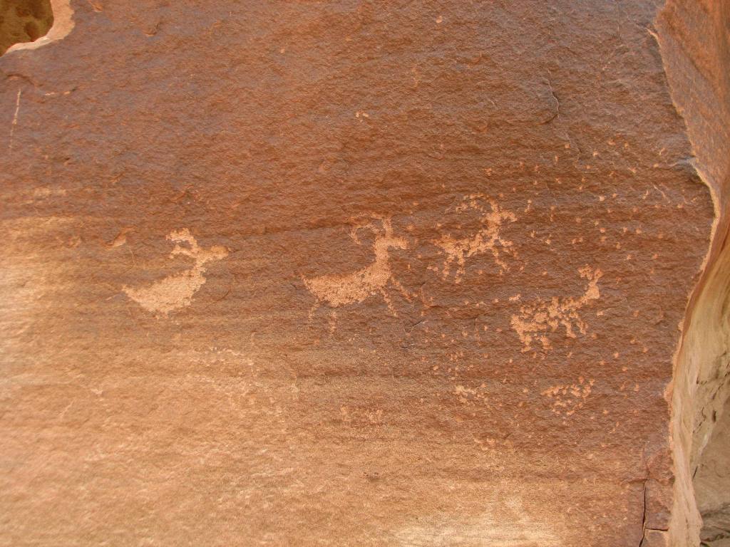
 Ancient ruins.


