Wild cucumber (Marah macrocarpus, previously called Echinocystis macrocarpa), also known as Manroot or Bigroot, was called molo’wot’ in Barbareño Chumash and chilicote in Spanish. Got it?
“And when they came to Marah, they could not drink of the waters of Marah; for they were bitter: therefore the name of it was called Marah.”
—Exodus 15:23
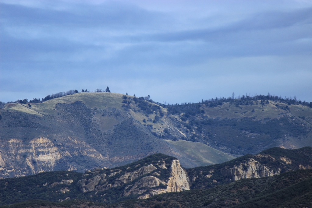
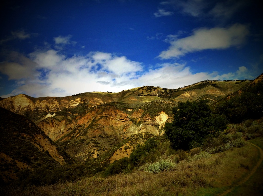
Wild cucumber is a California native perennial found in Los Padres National Forest and its environs. Despite its common name it tastes bitter and is not edible. Its scientific genus name, Marah, is taken from the bitter waters so named in the Bible, Marah meaning “bitter” in Hebrew. Also called “Bigroot” or “Manroot,” the herbaceous vine sprouts from a tuber that can grow to massive proportions and weigh several hundred pounds.


“The Sinkyone used soaproot and manroot, either separately or together, pounded up and placed in deep holes of creeks when the water was low, good for trout and suckers, sometimes steelhead.”
Paul D. Campbell, “Survival Skills of Native California” (1999)
California Indians used wild cucumber for a variety of purposes. A number of tribes used it to poison or stupefy fish in freshwater streams or coastal tide pools. With enough of the mashed fruit or root added to the water, the fish eventually float to the surface dead or dazed from the narcotic effect and can be speared or snatched by hand.
Paint for rock art pictographs was made from wild cucumber seeds, which render an oil when toasted or fire blackened that was used as a vehicle for pigment.
“It is not known exactly what type of binder the Chumash added to their pigment, but it is reasonably certain that it was the same or similar to that of the Yokuts. These Indians made their binder of the juice of milkweed (Asclepias fascicularis) mixed with oil extracted from the crushed seeds of the chilicothe (Echinocystis macrocarpa).”
—Campbell Grant, “The Rock Paintings of the Chumash” (1965)
“An excellent red paint was made. Many rock paintings made with it are still to be seen, although it has not been used for many years. Three different ingredients were used in its manufacture, one being the oxide of iron already spoken of as being used to make a black dye. Another was turpentine obtained from pine trees, and the third the ground up kernels of the seeds of chilicothe, Echinocystis macrocarpa. These were probably valued for the oil they contain.”
—Philip Stedman Sparkman, “The Culture of the Luiseño Indians” (1908)
 Chumash pictographs
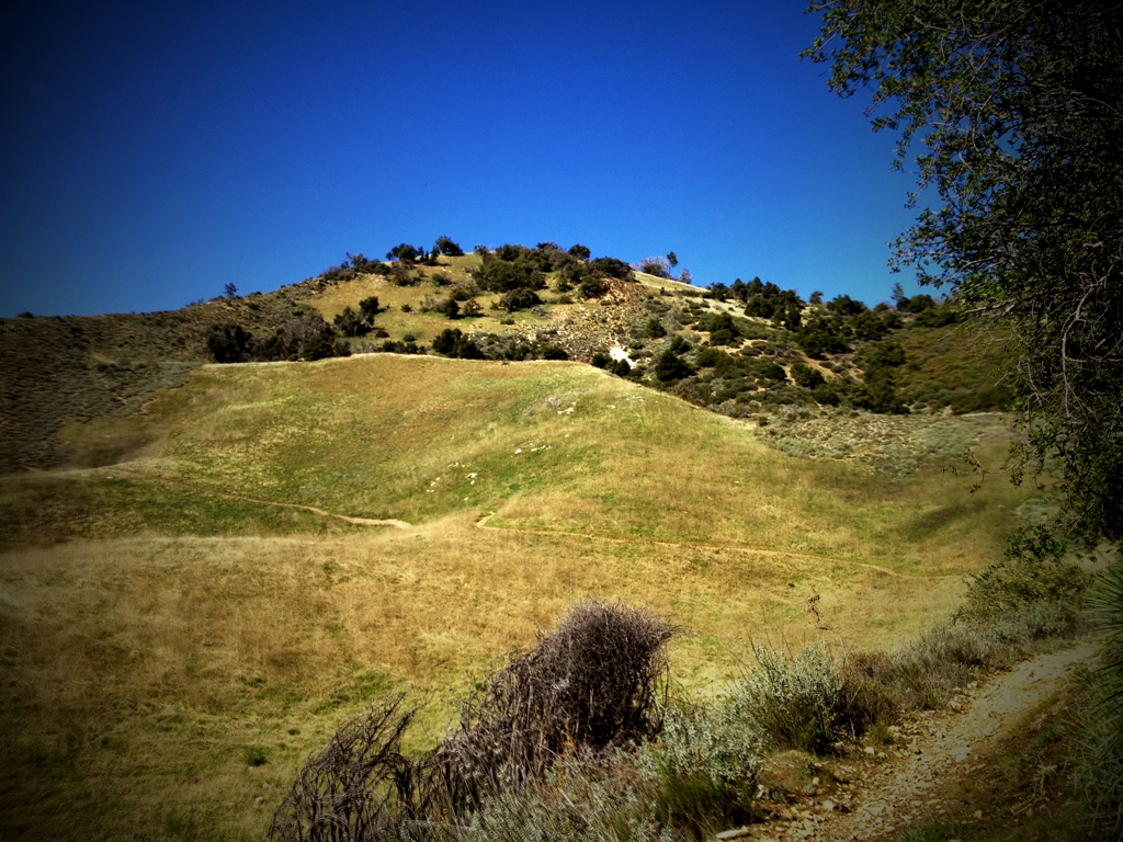
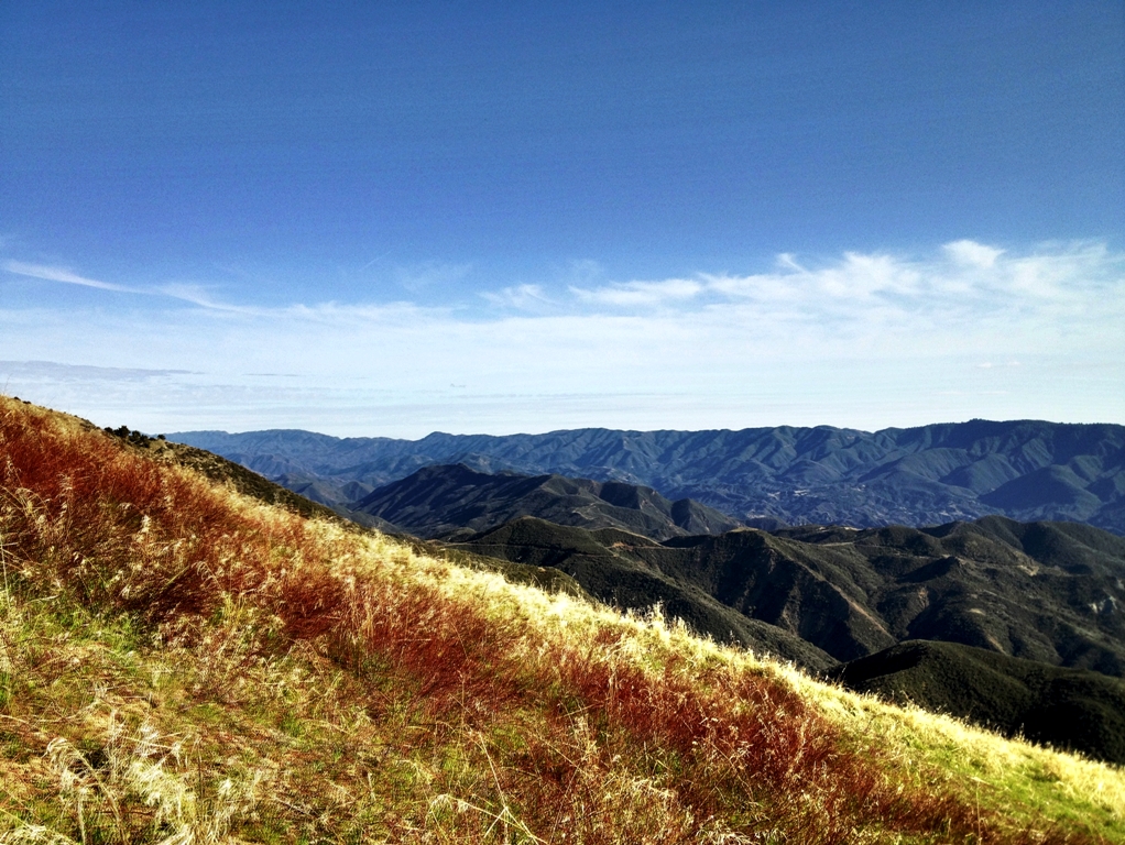
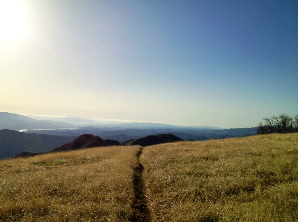
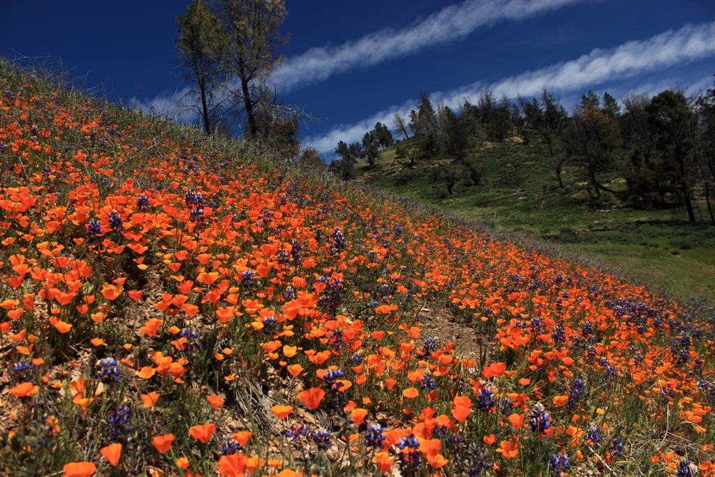
 Figueroa Mountain wildflowers on Wednesday.