
“As a result of his 1903 visit to California, Roosevelt was to create the Santa Barbara National Forest out of the Pine Mountain and Zaca Lake Forest Reserves.
This was the land that McKinley had set aside on March 2, 1898.
. . .later known as Los Padres National Forest.”
—Walker A. Tompkins, The Yankee Barbarenos
* * *
The most important habitat for grizzlies, as people who have dedicated their lives to studying and protecting the bears often
say, is not in some dataset, scientific report, or computer model.
It’s not even in the forests and mountains.
It’s in people’s hearts.
–California Grizzly Alliance
Last month the California Grizzly Alliance published, Recovering Grizzly Bears in California: A Feasibility Study (PDF).
The study has ties to Santa Barbara and Los Padres National Forest, which comprises 30% of the county, and is often the focus of this weblog. And so we mention it here.
One editor of the study, Peter S. Alagona, is a professor in the Environmental Studies Program at the University of California, Santa Barbara.
In 2016, the California Grizzly Research Network was established at U.C.S.B., and the feasibility study builds on the multidisciplinary work begun by this visionary network of environmental pioneers.
The California Grizzly Alliance has identified three areas of high-quality habitat suitable for potential reintroduction of this iconic bear.
We’re excited to note that one of these includes “the large protected areas of the Los Padres backcountry” that is our big beautiful wild backyard here in Santa Barbara.
In April of 1924, a work crew constructing the Generals Highway in Sequoia National Park reported an incident that would become generally accepted, still to this day, as the last credible grizzly bear sighting in California.
From 1924 on the grizzly was thought to be regionally extinct in the Golden State.
However, local newspaper articles from Santa Barbara County in 1926 suggest otherwise.
While no physical proof was reported, a couple of sightings in Santa Barbara and Ventura counties were mentioned.
As noted in the study by the California Grizzly Alliance:
In August 1926, the Lompoc Review newspaper reported that the previous year, the Santa Barbara (now Los Padres) National Forest Supervisor, William V. Mendenhall, had received reports from two district rangers of grizzly prints near Big Pine Mountain.
This appeared in the Lompoc newspaper on that date because a third district ranger had just reported actually seeing a grizzly in the Ventura County mountains above Ojai.
We will probably never know exactly where the last California grizzly lived or when it died.
Still, these records suggest that some may have survived in remote corners of Central and Southern California into the second half of the 1920s.
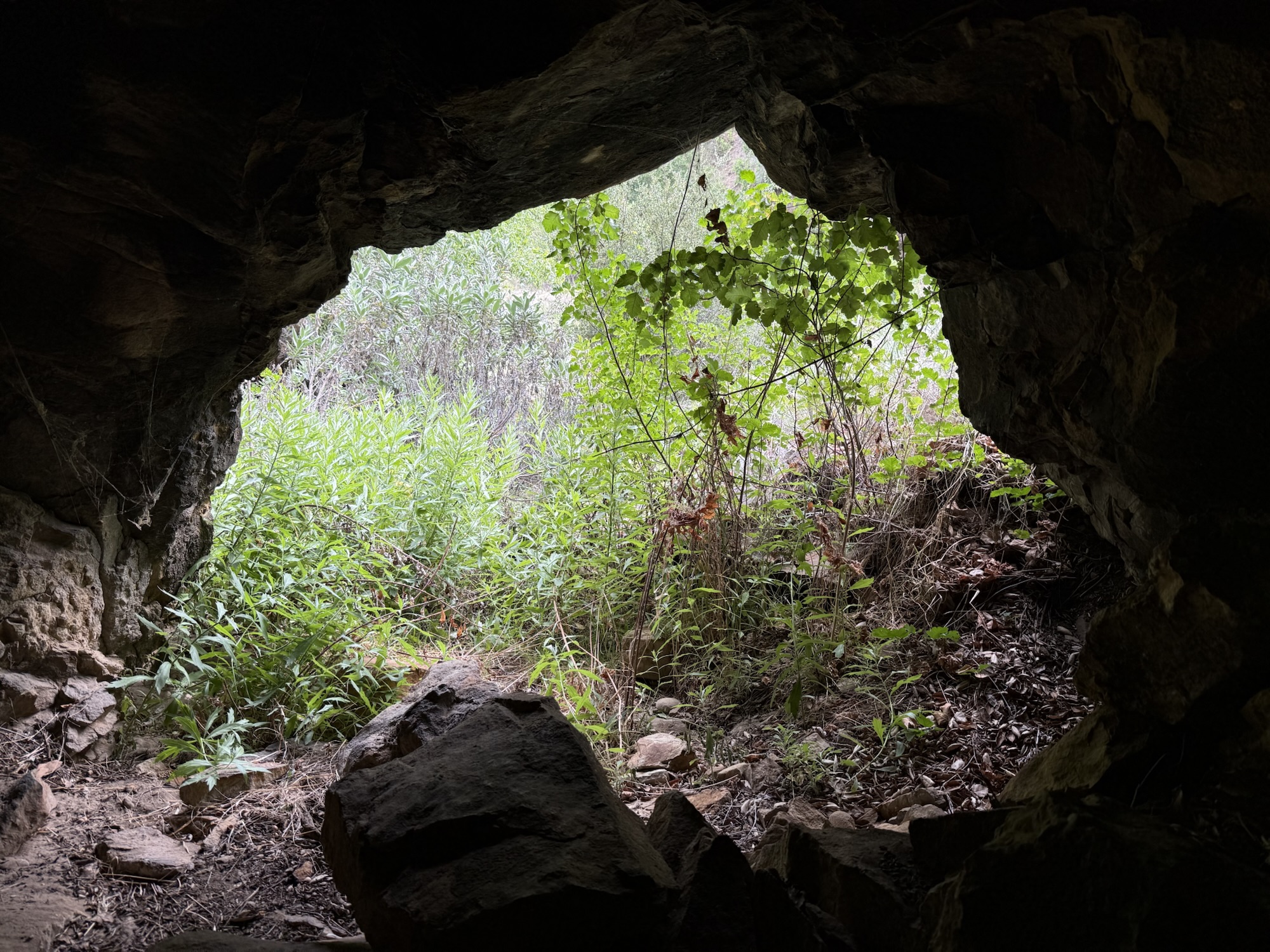
 Bear Heaven, Sespe Condor Sanctuary, Sespe Wilderness, Los Padres National Forest, Ventura County.
Two stories from 1926 featured in the Lompoc Review newspaper are reprinted below. Emphasis has been added to highlight the mention of grizzly bears.
July 20, 1926:
“Hunters’ kits are being over-hauled this week, canvas sheets are being dug out of the store room, guns are being oiled and all the paraphernalia of a hunting trip is being collected by groups who will be hitting the trail next week.
Deer season opens August 1, and many hunters will leave the latter part of next week for their favorite hunting grounds.
N. D. Hall, Jim Olivera and Oscar Collier make up a group that will go back into the brush in the Sisquoc country, where they expect to do a little bear hunting as well as bag a few dear.
Last year Henry Gorzell brought back a report from that region of a big grizzly, and a number of hunters have been eager to smoke him out.
The Zaca Lake region and the Sisquoc is a favorite hunting ground for a large number of the local deer hunters.
Several groups will leave here the latter part of next week for the Manzana. Wallace Dyer, Earl Coller and his son Elmer, are among those who usually spend several days of the deer seasons in this region.
C. D. McCabe is planning to leave the middle of next week to join his brothers-in-law, G. L. and A. W. Bean, of Goleta, who will go into the Santa Ynez mountains from the Santa Barbara side. They expect to be gone about two weeks.
Good hunting is anticipated this year, for weather conditions in the mountains were favorable this spring, the old timers say.
There will be plenty of water in the well known springs, which will simplify camp life for the hunters.
Announcements made earlier in the season that the forest reserve might be closed to hunters this year has caused some to delay plans for a trip until the matter is definitely settled.
It is thought now that the reserve will remain open. Talk of closing the reserve was based on weather conditions that would increase the fire hazard.
Hunters have been urged to take great precaution in camp and on the frails and to help in every way to keep down the fire menace.
Smoking is prohibited on the trails. Camp fires are restricted to places where there is no danger of fire spreading, and the precaution of always being sure the fire is extinguished before leaving camp is being strenuously urged.


 Siquoc Falls, Sisquoc Condor Sanctuary, San Rafael Wilderness, Los Padres National Forest, Santa Barbara County.
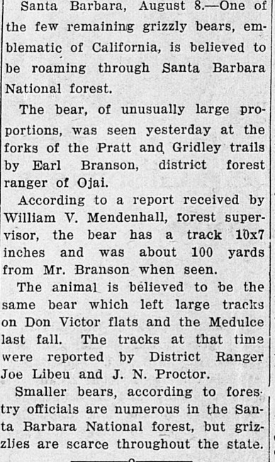
August 8, 1926:
“One of the few remaining grizzly bears, emblematic of California, is believed to be roaming through Santa Barbara National forest.
The bear, of unusually large proportions, was seen yesterday at the forks of the Pratt and, Gridley trails by Earl Branson, district forest ranger of Ojai.
According to a report received by William V. Mendenhall, forest supervisor, the bear has a track 10×7 inches and was about 100 yards from Mr. Branson when seen.
The animal is believed to be the same bear which left large tracks on Don Victor flats and the Medulce (sic) last fall.
The tracks at that time were reported by District Ranger Joe Libeu and J. N. Proctor.
Smaller bears, according to forestry officials are numerous in the Santa Barbara National forest, but grizzlies are scarce throughout the state.
Related Posts:
Gladiator Games of Bulls and Bears: A California Blood Sport (1800s)
Gladiator Games of Bulls and Bears: Recollections of Jacinto Damien Reyes (1880)
Gladiator Games of Bulls and Bears: Lassoing Grizzlies (1904)
Gladiator Games of Bulls and Bears: Sport of Roping Grizzlies (1911)
Pine Mountain and Zaca Lake Forest Reserve (1898)
The Sisquoc Falls: A Little Known Region in California Explored (1884)
Don Victor Valley and Pine Canyon


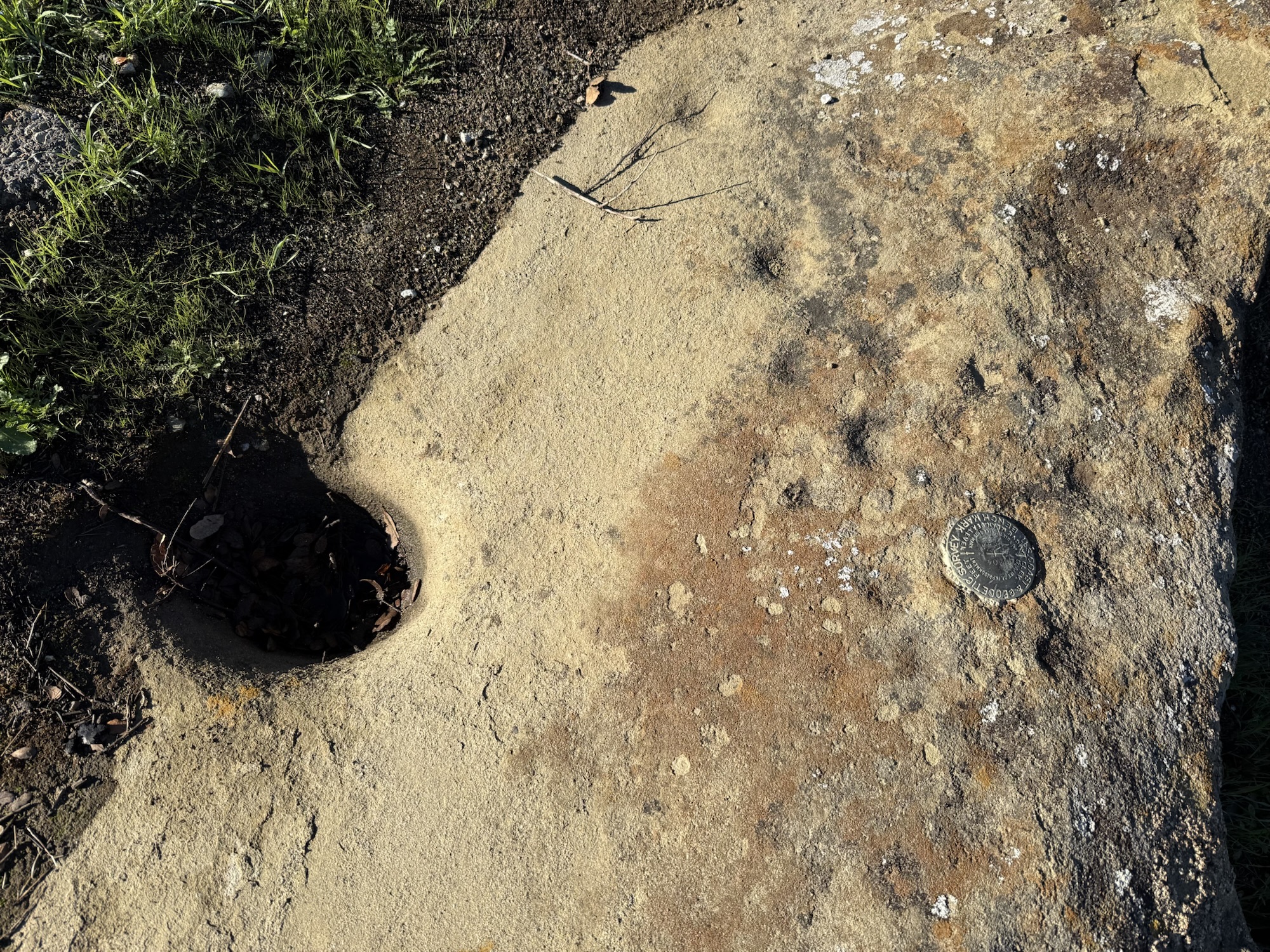 Mortar, benchmark, cupules.
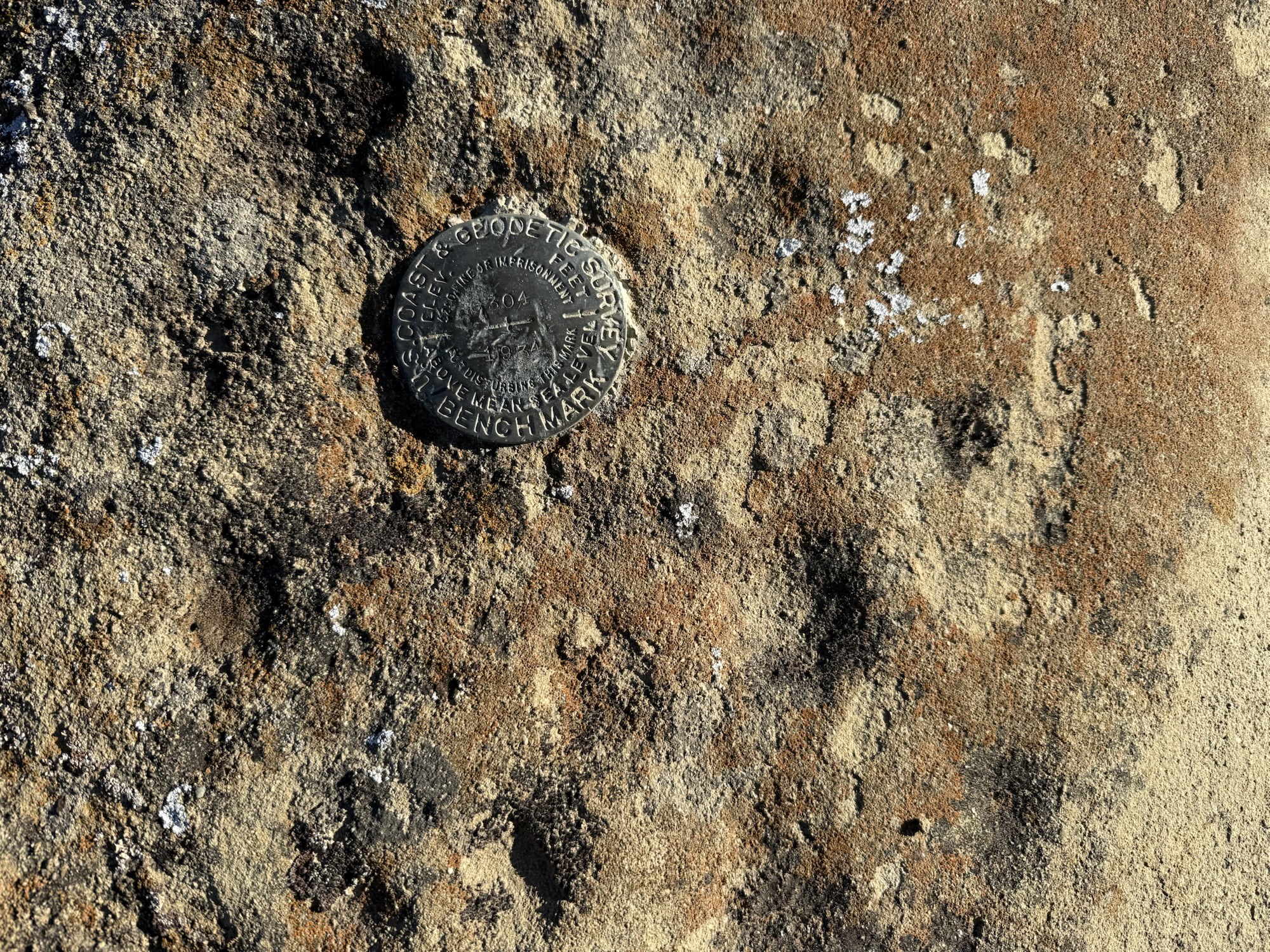
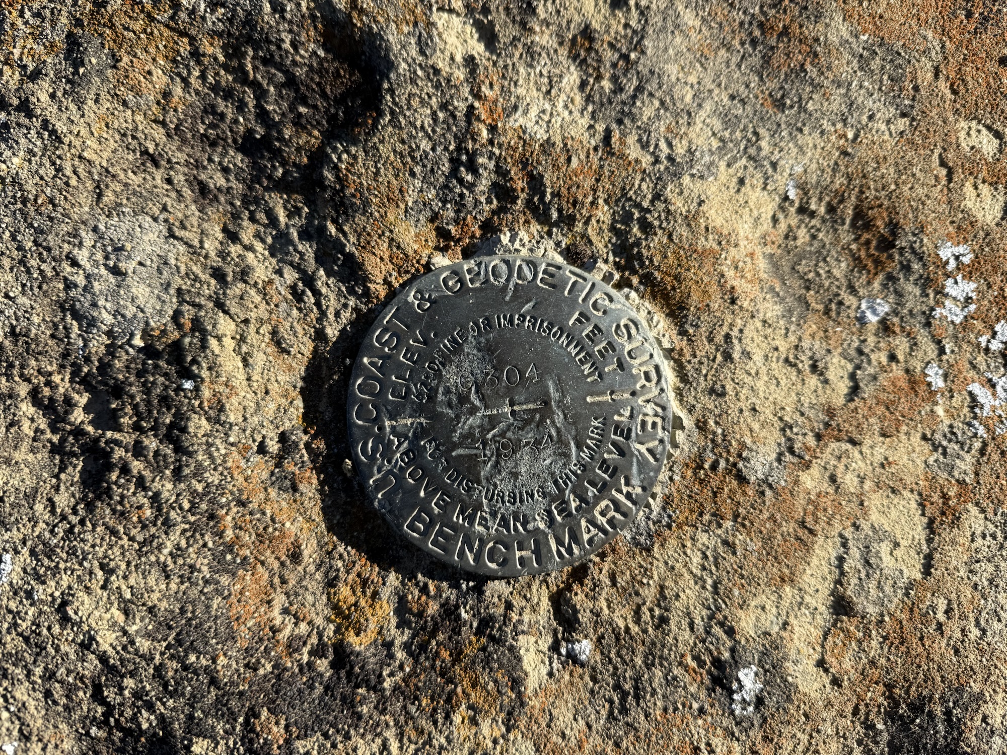 USGS benchmark dated 1934, Cuyama Valley.
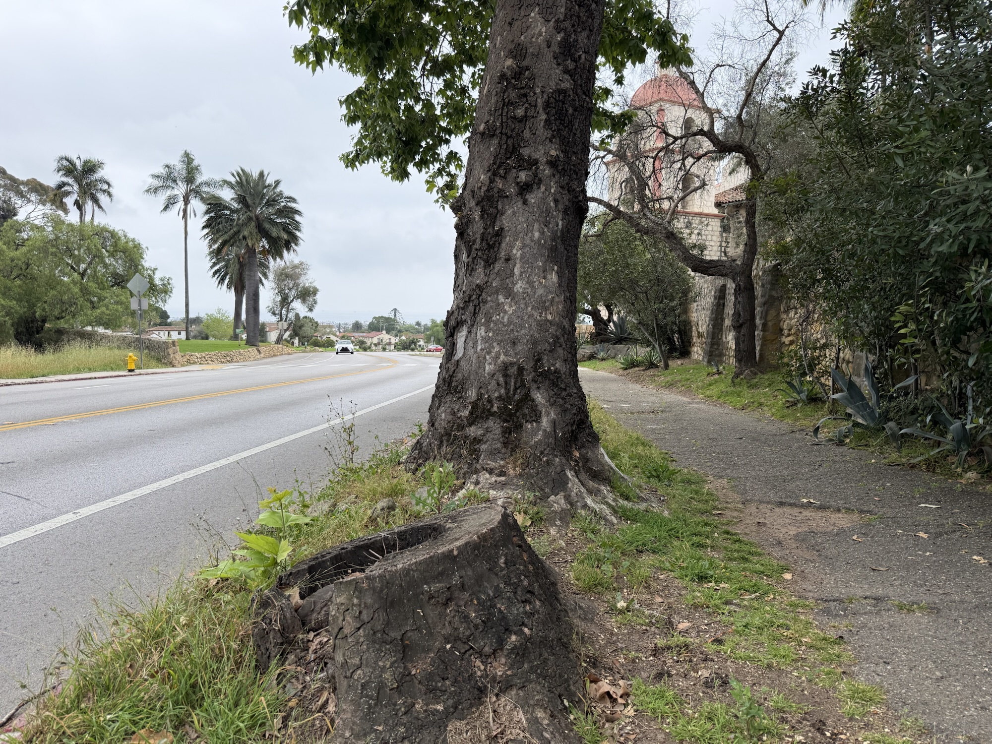 The sycamore sprout on the tree that refuses to give up.
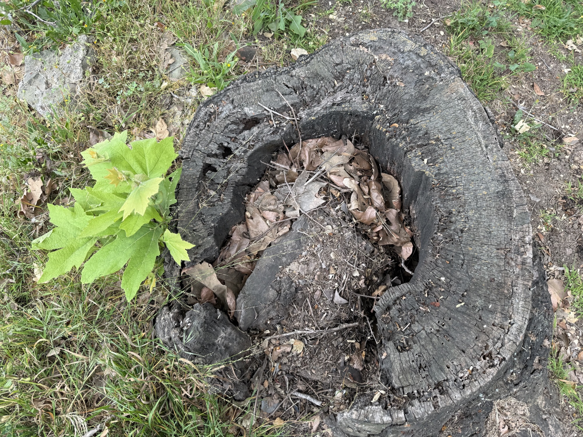
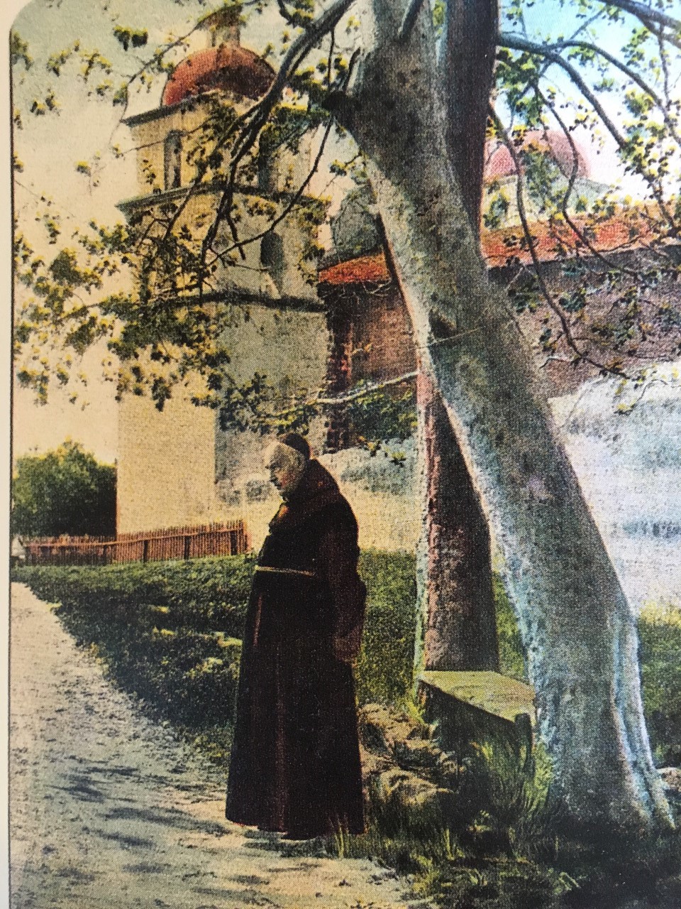 Postcard showing the Old Mission Sycamores (1893).
 Yellow lupine on Pine Mountain, Los Padres National Forest, Ventura County (May 2025)
 A view of pinyon pine forest in Chumash Wilderness, Pine Mountain in the distance defining the skyline. (June 2025)


